|
search place name
|
||
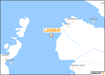
Lonbain (United Kingdom)Lonbain is a town in United Kingdom. An overview map of the region around Lonbain is displayed below.
regional and 3d topo map of Lonbain, United Kingdom ::
Lonbain airports ::
The nearest airport is SYY - Stornoway, located 82.3 km north of Lonbain.
Other airports nearby include BEB - Benbecula (88.8 km west), INV - Inverness (110.0 km east), TRE - Tiree (128.2 km south west), GLA - Glasgow (203.6 km south east), Nearby towns ::
 Places with similar names to Lonbain, United Kingdom ::
Disclaimer :: Information on this page comes without warranty of any kind |
||
|
Where is Lonbain? Elevation and coordinates ::
Latitude (lat): 57°31'0"N Longitude (lon): 5°53'0"W
Elevation (approx.): -32768m (map arrows pan, magnifying glasses zoom) |
||
|
Visiting Lonbain? Hotel/Accommodation ::
Book a hotel in Lonbain Travel Guide ::
rental cars ::
car rental offers GPS waypoint ::
download a GPX waypoint (PoI) of Lonbain for your GPS receiver
|
||