|
search place name
|
||
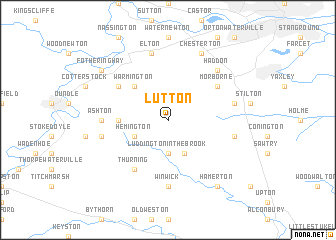
Lutton (United Kingdom)Lutton is a town in United Kingdom. An overview map of the region around Lutton is displayed below.
regional and 3d topo map of Lutton, United Kingdom ::
Lutton airports ::
The nearest airport is CBG - Cambridge, located 47.0 km south east of Lutton.
Other airports nearby include MHZ - Mildenhall (59.2 km east), KNF - Marham (65.4 km east), LTN - London Luton (65.9 km south), QCY - Coningsby (71.0 km north), Nearby towns ::
Luddington in the Brook (3.7km south) //
Hemington (2.9km south west) //
Great Gidding (3.9km south) //
Warmington (4.3km north west) //
Polebrook (3.4km west) //
Thurning (6.0km south) //
Tansor (5.0km north west) //
Morborne (5.0km north east) //
Ashton (4.5km west) //
Winwick (7.4km south) //
Elton (7.5km north) //
Armston (4.9km west) //
Folksworth (4.9km east) //
Glatton (4.9km east) //
Haddon (6.5km north east) //
Chesterton (7.7km north) //
Fotheringhay (7.2km north west) //
Hamerton (8.2km south east) //
[all distances 'as the bird flies' and approximate] 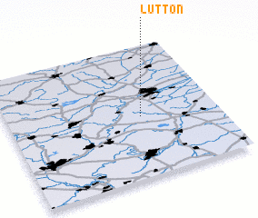 Places with similar names to Lutton, United Kingdom ::
Disclaimer :: Information on this page comes without warranty of any kind |
||
|
Where is Lutton? Elevation and coordinates ::
Latitude (lat): 52°28'0"N Longitude (lon): 0°22'0"W
Elevation (approx.): 63m (map arrows pan, magnifying glasses zoom) |
||
|
Visiting Lutton? Hotel/Accommodation ::
Book a hotel in Lutton Travel Guide ::
rental cars ::
car rental offers GPS waypoint ::
download a GPX waypoint (PoI) of Lutton for your GPS receiver
|
||