|
search place name
|
||
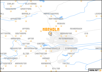
Marholm (United Kingdom)Marholm is a town in United Kingdom. An overview map of the region around Marholm is displayed below.
regional and 3d topo map of Marholm, United Kingdom ::
Marholm airports ::
The nearest airport is CBG - Cambridge, located 54.6 km south east of Marholm.
Other airports nearby include QCY - Coningsby (55.6 km north), KNF - Marham (57.9 km east), MHZ - Mildenhall (59.6 km south east), WTN - Waddington (64.8 km north), Nearby towns ::
Walton (2.3km east) //
Glinton (3.9km north) //
Helpston (2.9km north west) //
Peakirk (4.3km north east) //
Castor (4.3km south west) //
Werrington (3.4km east) //
Paston (3.4km east) //
Orton Waterville (5.6km south) //
Northborough (5.7km north) //
Deeping Saint James (5.7km north) //
Peterborough (3.9km south east) //
Alwalton (5.7km south) //
Market Deeping (7.4km north) //
Upton (4.9km west) //
Chesterton (7.7km south) //
Stanground (7.2km south east) //
Water Newton (7.2km south west) //
Farcet (8.7km south east) //
[all distances 'as the bird flies' and approximate] 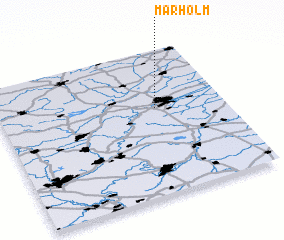 Places with similar names to Marholm, United Kingdom ::
// Máriahalom (HU)
// Mórahalom (HU)
// Muara Halimau (ID)
// Marholma (SE)
// Marieholm (SE)
// Marieholm (SE)
Disclaimer :: Information on this page comes without warranty of any kind |
||
|
Where is Marholm? Elevation and coordinates ::
Latitude (lat): 52°36'0"N Longitude (lon): 0°18'0"W
Elevation (approx.): 23m (map arrows pan, magnifying glasses zoom) |
||
|
Visiting Marholm? Hotel/Accommodation ::
Book a hotel in Marholm Travel Guide ::
rental cars ::
car rental offers GPS waypoint ::
download a GPX waypoint (PoI) of Marholm for your GPS receiver
|
||