|
search place name
|
||
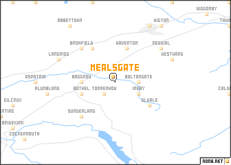
Mealsgate (United Kingdom)Mealsgate is a town in United Kingdom. An overview map of the region around Mealsgate is displayed below.
regional and 3d topo map of Mealsgate, United Kingdom ::
Mealsgate airports ::
The nearest airport is CAX - Carlisle, located 33.5 km north east of Mealsgate.
Other airports nearby include BWF - Barrow Island Walney Island (69.0 km south), NCL - Newcastle (102.9 km east), BLK - Blackpool (109.6 km south), IOM - Isle Of Man (117.7 km south west), Nearby towns ::
Torpenhow (2.1km south west) //
Boltongate (2.1km east) //
Ireby (2.8km south east) //
Baggrow (3.2km west) //
Waverton (5.7km north) //
Bothel (3.7km south west) //
Blencogo (6.0km north) //
Uldale (4.9km south east) //
Sunderland (6.4km south west) //
Bromfield (6.4km north west) //
Red Dial (7.0km north east) //
[all distances 'as the bird flies' and approximate] 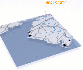 Places with similar names to Mealsgate, United Kingdom ::
// Malasugat (PH)
// Malosgod (PH)
// Malusgud (PH)
// Melschede (DE)
// Mohlscheid (DE)
// Molsgat (ZA)
// Malyy Skit (RU)
// Malyy Soktuy (RU)
// Mal Sūkhteh (IR)
// Meleh Sūkhteh (IR)
Disclaimer :: Information on this page comes without warranty of any kind |
||
|
Where is Mealsgate? Elevation and coordinates ::
Latitude (lat): 54°45'0"N Longitude (lon): 3°13'0"W
Elevation (approx.): 121m (map arrows pan, magnifying glasses zoom) |
||
|
Visiting Mealsgate? Hotel/Accommodation ::
Book a hotel in Mealsgate Travel Guide ::
rental cars ::
car rental offers GPS waypoint ::
download a GPX waypoint (PoI) of Mealsgate for your GPS receiver
|
||