|
search place name
|
||
Newbold on Stour (United Kingdom)Newbold on Stour is a town in United Kingdom. An overview map of the region around Newbold on Stour is displayed below.
regional and 3d topo map of Newbold on Stour, United Kingdom ::

Newbold on Stour airports ::
The nearest airport is CVT - Coventry, located 30.0 km north of Newbold on Stour.
Other airports nearby include OXF - Oxford Kidlington (37.8 km south east), BHX - Birmingham (38.3 km north), BZZ - Brize Norton (40.9 km south), GLO - Golouchestershire Gloucestershire (44.2 km south west), Nearby towns ::
Halford (2.2km south east) //
Eatington (2.9km north east) //
Alderminster (2.9km north west) //
Loxley (5.7km north) //
Honington (5.7km south) //
Ilmington (5.0km south west) //
Shipston on Stour (7.5km south) //
Admington (4.9km west) //
Wellesbourne Hastings (8.2km north east) //
Wellesbourne Mountford (8.2km north east) //
Stratford-upon-Avon (8.7km north west) //
[all distances 'as the bird flies' and approximate] 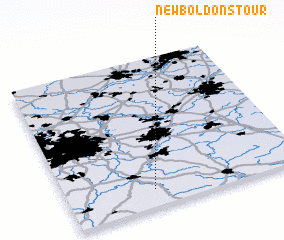 Places with similar names to Newbold on Stour, United Kingdom :: Disclaimer :: Information on this page comes without warranty of any kind |
||
|
Where is Newbold on Stour? Elevation and coordinates ::
Latitude (lat): 52°7'0"N Longitude (lon): 1°38'0"W
Elevation (approx.): 61m (map arrows pan, magnifying glasses zoom) |
||
|
Visiting Newbold on Stour? Hotel/Accommodation ::
Book a hotel in Newbold on Stour Travel Guide ::
rental cars ::
car rental offers GPS waypoint ::
download a GPX waypoint (PoI) of Newbold on Stour for your GPS receiver
|
||