|
search place name
|
||
Newmills (United Kingdom)Newmills is a town in United Kingdom. An overview map of the region around Newmills is displayed below.
regional and 3d topo map of Newmills, United Kingdom ::

Newmills airports ::
The nearest airport is BFS - Belfast Aldergrove, located 35.5 km east of Newmills.
Other airports nearby include BHD - Belfast City (56.2 km east), LDY - Londonderry Eglinton (61.4 km north west), ENK - Enniskillen St Angelo (61.9 km west), SXL - Sligo (124.8 km west), Nearby towns ::
Sherrigrim (2.1km north west) //
Donaghey (3.7km north) //
Dungannon (3.9km south) //
Coalisland (2.8km south east) //
Tullaghoge (5.6km north) //
Carland (3.7km south west) //
Grange (7.5km north) //
Stewartstown (5.7km north east) //
Granville (8.6km south west) //
[all distances 'as the bird flies' and approximate] 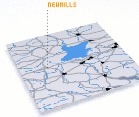 Places with similar names to Newmills, United Kingdom ::
// Namlos (AT)
// Nameless (US)
// Neu Mohlis (DE)
// Na Młace (PL)
// Nõmmealuse (EE)
// Nămoloasa (RO)
// Nam Lasi (IQ)
// Nameless (US)
// Namalesse (MZ)
// Namelissa (MZ)
Disclaimer :: Information on this page comes without warranty of any kind |
||
|
Where is Newmills? Elevation and coordinates ::
Latitude (lat): 54°33'0"N Longitude (lon): 6°44'0"W
Elevation (approx.): 79m (map arrows pan, magnifying glasses zoom) |
||
|
Visiting Newmills? Hotel/Accommodation ::
Book a hotel in Newmills Travel Guide ::
rental cars ::
car rental offers GPS waypoint ::
download a GPX waypoint (PoI) of Newmills for your GPS receiver
|
||