|
search place name
|
||
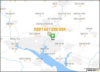
North Stoneham (United Kingdom)North Stoneham is a town in United Kingdom. An overview map of the region around North Stoneham is displayed below.
regional and 3d topo map of North Stoneham, United Kingdom ::
North Stoneham airports ::
The nearest airport is SOU - Southampton, located 0.7 km east of North Stoneham.
Other airports nearby include QLA - Lasham (35.2 km north east), BOH - Bournemouth (38.5 km south west), ODH - Odiham (43.4 km north east), FAB - Farnborough (55.0 km north east), Nearby towns ::
Swaythling (1.9km south) //
South Stoneham (1.9km south) //
Eastleigh (2.2km north east) //
Bassett (2.3km west) //
Chandlers Ford (3.9km north) //
Bishopstoke (3.0km north east) //
West End (4.4km south east) //
Chilworth (3.5km west) //
Northam (5.7km south) //
Itchen (5.7km south) //
Otterbourne (5.7km north) //
Bitterne (5.7km south) //
Southampton (6.0km south west) //
Woolston (7.4km south) //
Crowdhill (5.0km east) //
Hursley (7.8km north) //
Compton (7.8km north) //
Sholing (7.8km south) //
Twyford (8.2km north east) //
Winchester (8.2km north east) //
Shawford (8.2km north east) //
[all distances 'as the bird flies' and approximate] 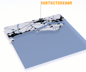 Places with similar names to North Stoneham, United Kingdom :: Disclaimer :: Information on this page comes without warranty of any kind |
||
|
Where is North Stoneham? Elevation and coordinates ::
Latitude (lat): 50°57'0"N Longitude (lon): 1°22'0"W
Elevation (approx.): 9m (map arrows pan, magnifying glasses zoom) |
||
|
Visiting North Stoneham? Hotel/Accommodation ::
Book a hotel in North Stoneham Travel Guide ::
rental cars ::
car rental offers GPS waypoint ::
download a GPX waypoint (PoI) of North Stoneham for your GPS receiver
|
||