|
search place name
|
||
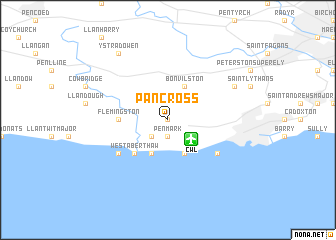
Pancross (United Kingdom)Pancross is a town in United Kingdom. An overview map of the region around Pancross is displayed below.
regional and 3d topo map of Pancross, United Kingdom ::
Pancross airports ::
The nearest airport is CWL - Cardiff, located 2.8 km south east of Pancross.
Other airports nearby include BRS - Bristol (45.2 km east), SWS - Swansea (53.0 km north west), FZO - Bristol Filton (55.1 km east), YEO - Yeovilton (68.1 km south east), Nearby towns ::
Llancarfan (0.0km north) //
Penmark (1.9km south) //
East Aberthaw (2.2km south west) //
Bonvilston (3.9km north) //
Aberthaw (3.9km south) //
Rhoose (3.9km south) //
West Aberthaw (4.4km south west) //
Flemingston (3.5km west) //
Saint Athan (5.1km south west) //
Gileston (5.1km south west) //
Porthkerry (5.1km south east) //
Saint Nicholas (5.9km north east) //
Ystradowen (8.2km north west) //
[all distances 'as the bird flies' and approximate] 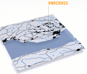 Places with similar names to Pancross, United Kingdom ::
// Penn Acres (US)
// Pancras (US)
// Pine Acres (US)
// Pine Acres (US)
// Pine Acres (US)
// Pine Acres (US)
// Pine Acres (US)
// Penn Acres (US)
// Pine Acres (US)
// Pine Acres (US)
Disclaimer :: Information on this page comes without warranty of any kind |
||
|
Where is Pancross? Elevation and coordinates ::
Latitude (lat): 51°25'0"N Longitude (lon): 3°22'0"W
Elevation (approx.): 14m (map arrows pan, magnifying glasses zoom) |
||
|
Visiting Pancross? Hotel/Accommodation ::
Book a hotel in Pancross Travel Guide ::
rental cars ::
car rental offers GPS waypoint ::
download a GPX waypoint (PoI) of Pancross for your GPS receiver
|
||