|
search place name
|
||
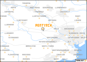
Pentyrch (United Kingdom)Pentyrch is a town in United Kingdom. An overview map of the region around Pentyrch is displayed below.
regional and 3d topo map of Pentyrch, United Kingdom ::
Pentyrch airports ::
The nearest airport is CWL - Cardiff, located 13.7 km south of Pentyrch.
Other airports nearby include BRS - Bristol (43.0 km east), FZO - Bristol Filton (49.2 km east), SWS - Swansea (54.2 km west), YEO - Yeovilton (72.9 km south east), Nearby towns ::
Taffs Well (3.0km north east) //
Nantgarw (4.4km north east) //
Saint Fagans (4.4km south east) //
Radyr (3.5km east) //
Llantwit Fardre (5.7km north) //
Peterston-super-Ely (5.7km south) //
Saint Nicholas (7.4km south) //
Treforest (7.5km north) //
Saint Lythans (7.5km south) //
Bonvilston (8.2km south west) //
[all distances 'as the bird flies' and approximate] 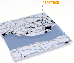 Places with similar names to Pentyrch, United Kingdom ::
// Point Au Roche (US)
// Pantircha (BD)
// Pünderich (DE)
// Punta Rucia (DO)
// Pentrich (GB)
// Ponta Rocha (GW)
Disclaimer :: Information on this page comes without warranty of any kind |
||
|
Where is Pentyrch? Elevation and coordinates ::
Latitude (lat): 51°31'0"N Longitude (lon): 3°18'0"W
Elevation (approx.): 97m (map arrows pan, magnifying glasses zoom) |
||
|
Visiting Pentyrch? Hotel/Accommodation ::
Book a hotel in Pentyrch Travel Guide ::
rental cars ::
car rental offers GPS waypoint ::
download a GPX waypoint (PoI) of Pentyrch for your GPS receiver
|
||