|
search place name
|
||
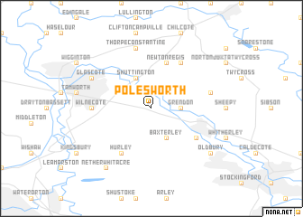
Polesworth (United Kingdom)Polesworth is a town in United Kingdom. An overview map of the region around Polesworth is displayed below.
regional and 3d topo map of Polesworth, United Kingdom ::
Polesworth airports ::
The nearest airport is BHX - Birmingham, located 19.1 km south west of Polesworth.
Other airports nearby include CVT - Coventry (26.9 km south), EMA - Nottingham East Midlands (31.6 km north east), OXF - Oxford Kidlington (87.0 km south), GLO - Golouchestershire Gloucestershire (87.6 km south west), Nearby towns ::
Grendon (2.3km east) //
Shuttington (3.9km north) //
Baxterley (3.9km south) //
Newton Regis (5.7km north) //
Austrey (6.0km north) //
Atherstone (5.0km south east) //
Hurley (6.0km south) //
Wilnecote (4.5km west) //
Thorpe Constantine (7.5km north) //
Orton on the Hill (4.9km east) //
Glascote (5.8km north west) //
Nether Whitacre (8.1km south west) //
Oldbury (7.2km south east) //
[all distances 'as the bird flies' and approximate] 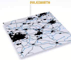 Places with similar names to Polesworth, United Kingdom ::
// Plawsworth (GB)
// Paulsworth (IE)
Disclaimer :: Information on this page comes without warranty of any kind |
||
|
Where is Polesworth? Elevation and coordinates ::
Latitude (lat): 52°36'0"N Longitude (lon): 1°36'0"W
Elevation (approx.): 86m (map arrows pan, magnifying glasses zoom) |
||
|
Visiting Polesworth? Hotel/Accommodation ::
Book a hotel in Polesworth Travel Guide ::
rental cars ::
car rental offers GPS waypoint ::
download a GPX waypoint (PoI) of Polesworth for your GPS receiver
|
||