|
search place name
|
||
Rhostie (United Kingdom)Rhostie is a town in United Kingdom. An overview map of the region around Rhostie is displayed below.
regional and 3d topo map of Rhostie, United Kingdom ::

Rhostie airports ::
The nearest airport is SWS - Swansea, located 81.1 km south of Rhostie.
Other airports nearby include CWL - Cardiff (114.1 km south east), CEG - Hawarden (117.3 km north east), FZO - Bristol Filton (133.5 km south east), GLO - Golouchestershire Gloucestershire (135.8 km east), Nearby towns ::
Llanilar (1.9km north) //
Lledrod (4.3km south east) //
Llangwyryfon (5.0km south west) //
Bronant (6.0km south) //
Rhyd-y-felin (6.5km north west) //
Llanfihangel-y-creuddyn (5.9km north east) //
Llanychaiarn (7.2km north west) //
Llanbadarn-fawr (8.2km north west) //
Capel Bangor (8.2km north east) //
[all distances 'as the bird flies' and approximate] 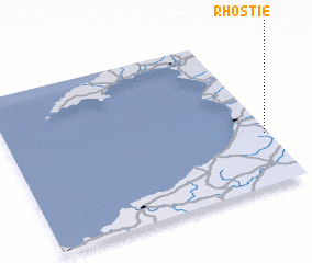
Disclaimer :: Information on this page comes without warranty of any kind |
||
|
Where is Rhostie? Elevation and coordinates ::
Latitude (lat): 52°20'0"N Longitude (lon): 4°1'0"W
Elevation (approx.): 151m (map arrows pan, magnifying glasses zoom) |
||
|
Visiting Rhostie? Hotel/Accommodation ::
Book a hotel in Rhostie Travel Guide ::
rental cars ::
car rental offers GPS waypoint ::
download a GPX waypoint (PoI) of Rhostie for your GPS receiver
|
||