|
search place name
|
||
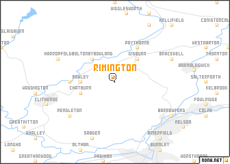
Rimington (United Kingdom)Rimington is a town in United Kingdom. An overview map of the region around Rimington is displayed below.
regional and 3d topo map of Rimington, United Kingdom ::
Rimington airports ::
The nearest airport is LBA - Leeds Bradford, located 42.2 km east of Rimington.
Other airports nearby include BLK - Blackpool (50.0 km west), MAN - Manchester (60.8 km south), BWF - Barrow Island Walney Island (68.2 km north west), LPL - Liverpool (72.8 km south west), Nearby towns ::
Gisburn (4.3km north east) //
Bolton by Bowland (4.3km north west) //
Sawley (3.3km west) //
Chatburn (3.8km south west) //
Paythorne (6.0km north) //
Grindleton (4.4km west) //
Pendleton (7.1km south west) //
[all distances 'as the bird flies' and approximate] 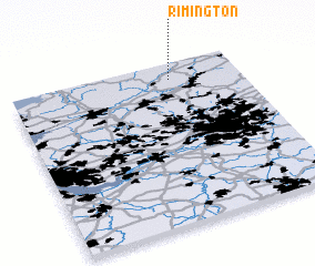 Places with similar names to Rimington, United Kingdom ::
Disclaimer :: Information on this page comes without warranty of any kind |
||
|
Where is Rimington? Elevation and coordinates ::
Latitude (lat): 53°54'0"N Longitude (lon): 2°18'0"W
Elevation (approx.): 141m (map arrows pan, magnifying glasses zoom) |
||
|
Visiting Rimington? Hotel/Accommodation ::
Book a hotel in Rimington Travel Guide ::
rental cars ::
car rental offers GPS waypoint ::
download a GPX waypoint (PoI) of Rimington for your GPS receiver
|
||