|
search place name
|
||
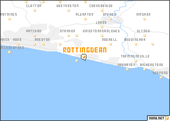
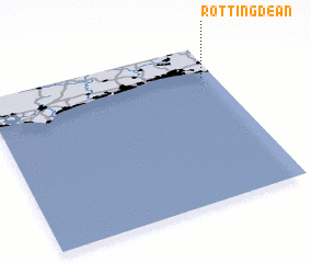
Rottingdean (United Kingdom)Rottingdean is a town in United Kingdom. An overview map of the region around Rottingdean is displayed below.
regional and 3d topo map of Rottingdean, United Kingdom ::
Rottingdean airports ::
The nearest airport is ESH - Shoreham By Sea Shoreham, located 17.9 km west of Rottingdean.
Other airports nearby include LGW - London Gatwick (40.0 km north), BQH - Biggin Hill (59.3 km north), LYX - Lydd (71.8 km east), FAB - Farnborough (73.5 km north west), Nearby towns ::
 Places with similar names to Rottingdean, United Kingdom ::
// Redington (US)
// Reddington (US)
// Redington (US)
// Redington (US)
// Readington (US)
// Redington (US)
// Reddington (JM)
// Raddington (GB)
// Ruddington (GB)
// Hrad Nečtiny (CZ)
Disclaimer :: Information on this page comes without warranty of any kind |
||
|
Where is Rottingdean? Elevation and coordinates ::
Latitude (lat): 50°48'0"N Longitude (lon): 0°3'0"W
Elevation (approx.): -32768m (map arrows pan, magnifying glasses zoom) |
||
|
Visiting Rottingdean? Hotel/Accommodation ::
Book a hotel in Rottingdean Travel Guide ::
rental cars ::
car rental offers GPS waypoint ::
download a GPX waypoint (PoI) of Rottingdean for your GPS receiver
|
||