|
search place name
|
||
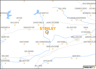
Stawley (United Kingdom)Stawley is a town in United Kingdom. An overview map of the region around Stawley is displayed below.
regional and 3d topo map of Stawley, United Kingdom ::
Stawley airports ::
The nearest airport is EXT - Exeter, located 30.1 km south of Stawley.
Other airports nearby include CWL - Cardiff (44.1 km north), YEO - Yeovilton (48.8 km east), BRS - Bristol (60.5 km north east), FZO - Bristol Filton (77.6 km north east), Nearby towns ::
Wiveliscombe (3.9km north) //
Holcombe Rogus (3.9km south) //
Chipstable (4.4km north west) //
Hockworthy (4.4km south west) //
Burlescombe (5.7km south) //
White Ball (5.1km south east) //
Clatworthy (7.5km north) //
Raddington (5.0km west) //
Sampford Arundel (6.0km south east) //
Sampford Peverell (8.8km south west) //
Uplowman (8.8km south west) //
[all distances 'as the bird flies' and approximate] 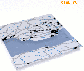 Places with similar names to Stawley, United Kingdom ::
Disclaimer :: Information on this page comes without warranty of any kind |
||
|
Where is Stawley? Elevation and coordinates ::
Latitude (lat): 51°0'0"N Longitude (lon): 3°20'0"W
Elevation (approx.): 185m (map arrows pan, magnifying glasses zoom) |
||
|
Visiting Stawley? Hotel/Accommodation ::
Book a hotel in Stawley Travel Guide ::
rental cars ::
car rental offers GPS waypoint ::
download a GPX waypoint (PoI) of Stawley for your GPS receiver
|
||