|
search place name
|
||
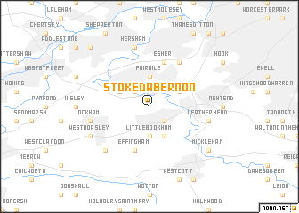
Stoke DʼAbernon (United Kingdom)Stoke DʼAbernon is a town in United Kingdom. An overview map of the region around Stoke DʼAbernon is displayed below.
regional and 3d topo map of Stoke DʼAbernon, United Kingdom ::
Stoke DʼAbernon airports ::
The nearest airport is LHR - London Heathrow, located 20.5 km north of Stoke DʼAbernon.
Other airports nearby include LGW - London Gatwick (21.6 km south east), FAB - Farnborough (27.5 km west), NHT - Northolt (28.3 km north), BQH - Biggin Hill (29.2 km east), Nearby towns ::
Bookham (2.2km south east) //
Downside (2.2km north west) //
Little Bookham (3.7km south) //
Fairmile (3.7km north) //
Great Bookham (3.9km south) //
Oxshott (3.0km north east) //
Cobham (3.0km north west) //
Esher (5.7km north) //
Effingham (5.7km south) //
Claygate (6.0km north east) //
Claremont (6.0km north east) //
Leatherhead (5.0km east) //
Ockham (5.0km west) //
Hersham (7.5km north) //
East Horsley (6.6km south west) //
West Horsley (5.9km south west) //
Mickleham (7.2km south east) //
Oatlands Park (8.7km north west) //
[all distances 'as the bird flies' and approximate] 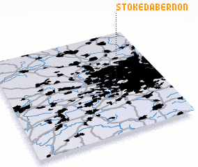 Places with similar names to Stoke DʼAbernon, United Kingdom :: Disclaimer :: Information on this page comes without warranty of any kind |
||
|
Where is Stoke DʼAbernon? Elevation and coordinates ::
Latitude (lat): 51°18'0"N Longitude (lon): 0°23'0"W
Elevation (approx.): 60m (map arrows pan, magnifying glasses zoom) |
||
|
Visiting Stoke DʼAbernon? Hotel/Accommodation ::
Book a hotel in Stoke DʼAbernon Travel Guide ::
rental cars ::
car rental offers GPS waypoint ::
download a GPX waypoint (PoI) of Stoke DʼAbernon for your GPS receiver
|
||