|
search place name
|
||
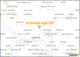
Stoke Goldington (United Kingdom)Stoke Goldington is a town in United Kingdom. An overview map of the region around Stoke Goldington is displayed below.
regional and 3d topo map of Stoke Goldington, United Kingdom ::
Stoke Goldington airports ::
The nearest airport is LTN - London Luton, located 38.4 km south east of Stoke Goldington.
Other airports nearby include OXF - Oxford Kidlington (49.1 km south west), CVT - Coventry (56.3 km north west), CBG - Cambridge (65.2 km east), NHT - Northolt (67.2 km south), Nearby towns ::
Ravenstone (2.2km north east) //
Gayhurst (2.2km south east) //
Little Linford (3.7km south) //
Weston Underwood (2.9km north east) //
Tyringham (2.9km south east) //
Filgrave (3.9km north east) //
Haversham (5.7km south) //
Hanslope (3.9km south west) //
Great Linford (5.7km south) //
Horton (6.0km north) //
Newport Pagnell (5.0km south east) //
Lathbury (5.0km south east) //
Emberton (4.9km east) //
Sherington (4.9km east) //
Piddington (6.5km north west) //
Castlethorpe (5.9km south west) //
Olney (5.9km north east) //
Hackleton (8.2km north west) //
Wolverton (8.2km south west) //
Willen (8.2km south east) //
[all distances 'as the bird flies' and approximate] 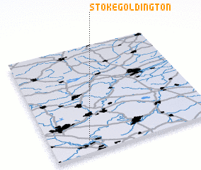 Places with similar names to Stoke Goldington, United Kingdom :: Disclaimer :: Information on this page comes without warranty of any kind |
||
|
Where is Stoke Goldington? Elevation and coordinates ::
Latitude (lat): 52°7'0"N Longitude (lon): 0°46'0"W
Elevation (approx.): 77m (map arrows pan, magnifying glasses zoom) |
||
|
Visiting Stoke Goldington? Hotel/Accommodation ::
Book a hotel in Stoke Goldington Travel Guide ::
rental cars ::
car rental offers GPS waypoint ::
download a GPX waypoint (PoI) of Stoke Goldington for your GPS receiver
|
||