|
search place name
|
||
Sutton Maddock (United Kingdom)Sutton Maddock is a town in United Kingdom. An overview map of the region around Sutton Maddock is displayed below.
regional and 3d topo map of Sutton Maddock, United Kingdom ::

Sutton Maddock airports ::
The nearest airport is BHX - Birmingham, located 48.2 km east of Sutton Maddock.
Other airports nearby include CVT - Coventry (68.6 km east), CEG - Hawarden (74.6 km north west), EMA - Nottingham East Midlands (77.9 km east), GLO - Golouchestershire Gloucestershire (80.4 km south), Nearby towns ::
Norton (1.1km east) //
Linley (2.2km south west) //
Madeley (3.9km north) //
Astley Abbots (3.9km south) //
Coalport (2.9km north west) //
Barrow Bridge (3.4km west) //
Ironbridge (5.0km north west) //
Coalbrookdale (5.0km north west) //
Bridgnorth (7.4km south) //
Badger (4.5km east) //
Willey (4.9km west) //
Broseley (4.9km west) //
Beckbury (4.9km east) //
Ryton (4.9km east) //
Worfield (6.5km south east) //
Shifnal (8.1km north east) //
Dawley (8.1km north west) //
Morville (8.7km south west) //
Horsehay (8.7km north west) //
[all distances 'as the bird flies' and approximate] 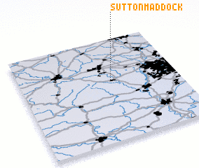 Places with similar names to Sutton Maddock, United Kingdom :: Disclaimer :: Information on this page comes without warranty of any kind |
||
|
Where is Sutton Maddock? Elevation and coordinates ::
Latitude (lat): 52°36'0"N Longitude (lon): 2°25'0"W
Elevation (approx.): 81m (map arrows pan, magnifying glasses zoom) |
||
|
Visiting Sutton Maddock? Hotel/Accommodation ::
Book a hotel in Sutton Maddock Travel Guide ::
rental cars ::
car rental offers GPS waypoint ::
download a GPX waypoint (PoI) of Sutton Maddock for your GPS receiver
|
||