|
search place name
|
||
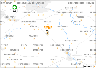
Syde (United Kingdom)Syde is a town in United Kingdom. An overview map of the region around Syde is displayed below.
regional and 3d topo map of Syde, United Kingdom ::
Syde airports ::
The nearest airport is GLO - Golouchestershire Gloucestershire, located 13.2 km north west of Syde.
Other airports nearby include FFD - Fairford (22.2 km south east), BZZ - Brize Norton (32.7 km east), LYE - Lyneham (33.0 km south), FZO - Bristol Filton (48.7 km south west), Nearby towns ::
Elkstone (0.0km north) //
Cowley (3.7km north) //
Coberley (3.7km north) //
Brimpsfield (2.9km north west) //
Miserden (3.9km south west) //
Colesborne (3.9km north east) //
Birdlip (3.9km north west) //
Daglingworth (6.0km south) //
Edgeworth (6.0km south) //
Charlton Kings (7.5km north) //
Sapperton (7.8km south) //
Little Witcombe (5.9km north west) //
Leckhampton (7.8km north) //
Dowdeswell (8.2km north east) //
Cirencester (8.7km south east) //
Shurdington (8.7km north west) //
[all distances 'as the bird flies' and approximate] 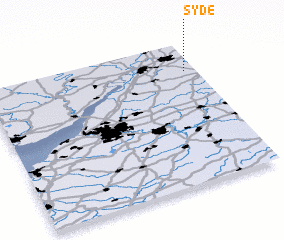 Places with similar names to Syde, United Kingdom ::
Disclaimer :: Information on this page comes without warranty of any kind |
||
|
Where is Syde? Elevation and coordinates ::
Latitude (lat): 51°48'0"N Longitude (lon): 2°3'0"W
Elevation (approx.): 265m (map arrows pan, magnifying glasses zoom) |
||
|
Visiting Syde? Hotel/Accommodation ::
Book a hotel in Syde Travel Guide ::
rental cars ::
car rental offers GPS waypoint ::
download a GPX waypoint (PoI) of Syde for your GPS receiver
|
||