|
search place name
|
||
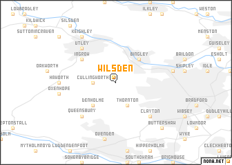
Wilsden (United Kingdom)Wilsden is a town in United Kingdom. An overview map of the region around Wilsden is displayed below.
regional and 3d topo map of Wilsden, United Kingdom ::
Wilsden airports ::
The nearest airport is LBA - Leeds Bradford, located 14.6 km east of Wilsden.
Other airports nearby include MAN - Manchester (58.2 km south west), BLK - Blackpool (76.7 km west), MME - Teesside Durham Tees Valley Airport (82.2 km north), LPL - Liverpool (84.4 km south west), Nearby towns ::
Cullingworth (2.2km west) //
Thornton (3.9km south) //
Denholme (4.3km south west) //
Bingley (4.3km north east) //
Ingrow (5.0km north west) //
Gomersal (6.5km south east) //
Clayton (6.5km south east) //
Queensbury (6.5km south west) //
Utley (6.5km north west) //
Keighley (8.1km north west) //
Buttershaw (8.6km south east) //
[all distances 'as the bird flies' and approximate] 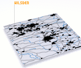 Places with similar names to Wilsden, United Kingdom ::
// Wallstown (US)
// Williston (US)
// Wallston (US)
// Wilsten (DE)
// Wöllstein (DE)
// Wollstein (DE)
// Williston (ZA)
// Wallacetown (NZ)
// Wallacetown (NZ)
// Woolston (NZ)
Disclaimer :: Information on this page comes without warranty of any kind |
||
|
Where is Wilsden? Elevation and coordinates ::
Latitude (lat): 53°49'0"N Longitude (lon): 1°52'0"W
Elevation (approx.): 248m (map arrows pan, magnifying glasses zoom) |
||
|
Visiting Wilsden? Hotel/Accommodation ::
Book a hotel in Wilsden Travel Guide ::
rental cars ::
car rental offers GPS waypoint ::
download a GPX waypoint (PoI) of Wilsden for your GPS receiver
|
||