|
search place name
|
||
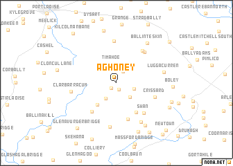
Aghoney (Laois, Ireland)Aghoney is a town in the Laois region of Ireland. An overview map of the region around Aghoney is displayed below.
regional and 3d topo map of Aghoney, Ireland ::
Aghoney airports ::
The nearest airport is DUB - Dublin, located 82.7 km north east of Aghoney.
Other airports nearby include WAT - Waterford (83.1 km south), SNN - Shannon (119.1 km west), GWY - Galway (123.7 km west), ORK - Cork (149.8 km south west), Nearby towns ::
Knocklead (1.1km south) //
Baunogemeely (1.0km south west) //
Fossy (2.0km north) //
Brennanshill (1.9km south east) //
Cleanagh (2.7km south) //
Tigh Mochua (3.1km north) //
Timahoe (3.1km north) //
Aghadreen (2.7km south east) //
Spink (3.9km south west) //
Moyadd Bridge (5.1km south) //
Aughatubbrid (5.9km south) //
Graiguenahown (5.2km south west) //
Swan (5.5km south east) //
Crissard (4.4km south east) //
Gallows Hill (5.8km north east) //
Ballycoolan (5.7km north east) //
Bauteogue (6.7km north) //
Crutt (7.1km south) //
Clarbarracum (4.6km west) //
Slatt Bridge (6.8km south) //
Luggacurren (5.0km east) //
Ballinteskin (7.1km north east) //
Kill (7.4km south) //
An Chloch (8.2km south) //
Clogh (8.2km south) //
Raheenanisky (8.6km north) //
Ballylehane Upper (6.5km south east) //
Toortane (8.6km south) //
Glenavurder Bridge (8.2km south west) //
[all distances 'as the bird flies' and approximate] 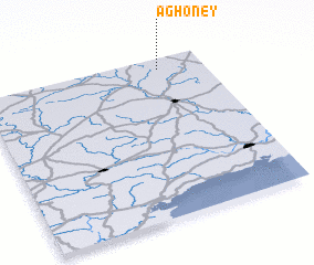 Places with similar names to Aghoney, Ireland ::
Disclaimer :: Information on this page comes without warranty of any kind |
||
|
Where is Aghoney? Elevation and coordinates ::
Latitude (lat): 52°55'51"N Longitude (lon): 7°11'56"W
Elevation (approx.): 239m (map arrows pan, magnifying glasses zoom) |
||
|
Visiting Aghoney? Hotel/Accommodation ::
Book a hotel in Aghoney Travel Guide ::
Buy a travel guide for Ireland rental cars ::
car rental offers GPS waypoint ::
download a GPX waypoint (PoI) of Aghoney for your GPS receiver
|
||