|
search place name
|
||
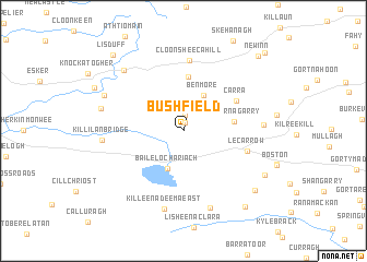
Bushfield (Gaillimh, Ireland)Bushfield is a town in the Gaillimh region of Ireland. An overview map of the region around Bushfield is displayed below.
regional and 3d topo map of Bushfield, Ireland ::
Bushfield airports ::
The nearest airport is GWY - Galway, located 27.0 km west of Bushfield.
Other airports nearby include SNN - Shannon (64.1 km south west), NOC - Connaught (77.5 km north), SXL - Sligo (116.7 km north), KIR - Kerry (134.1 km south west), Nearby towns ::
Hedgetown (0.8km north) //
Bullaun (1.7km north) //
Ballymurry (2.6km north) //
Benmore (3.8km north) //
Loughrea (4.0km south) //
Baile Locha Riach (4.0km south) //
Cahernagarry (3.3km east) //
Caraun (5.5km north) //
Carra (4.4km north east) //
Lecarrow (4.4km south east) //
Cloonsheecahill (7.2km north) //
Caherakilleen (4.9km east) //
Killeenadeema East (8.1km south) //
Killilan Bridge (5.0km west) //
Ballyeighter (8.1km south) //
Gortakecran (7.2km north west) //
Bookeen (5.5km north west) //
Clogharevaun Bridge (6.0km north west) //
Ballydoogan (6.7km south east) //
Newtown Daly (7.5km south east) //
Carrowkeel (8.6km south east) //
Lisduff (8.9km north west) //
New Inn (8.9km north east) //
Gortfadda (9.4km north east) //
[all distances 'as the bird flies' and approximate] 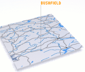 Places with similar names to Bushfield, Ireland ::
// Buchfeld (AT)
// Buchfeld (DE)
// Beachfield (US)
// Beechfield (US)
// Bachfeld (DE)
// Bushfield (AU)
// Bushfield (IE)
// Bushfield (IE)
Disclaimer :: Information on this page comes without warranty of any kind |
||
|
Where is Bushfield? Elevation and coordinates ::
Latitude (lat): 53°13'55"N Longitude (lon): 8°33'10"W
Elevation (approx.): 73m (map arrows pan, magnifying glasses zoom) |
||
|
Visiting Bushfield? Hotel/Accommodation ::
Book a hotel in Bushfield Travel Guide ::
Buy a travel guide for Ireland rental cars ::
car rental offers GPS waypoint ::
download a GPX waypoint (PoI) of Bushfield for your GPS receiver
|
||