|
search place name
|
||
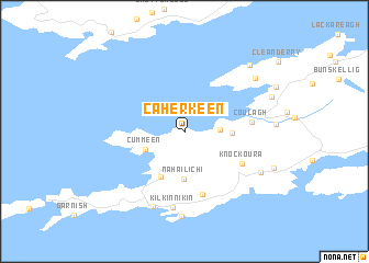
Caherkeen (Corcaigh, Ireland)Caherkeen is a town in the Corcaigh region of Ireland. An overview map of the region around Caherkeen is displayed below.
regional and 3d topo map of Caherkeen, Ireland ::
Caherkeen airports ::
The nearest airport is KIR - Kerry, located 66.2 km north east of Caherkeen.
Other airports nearby include ORK - Cork (108.0 km east), SNN - Shannon (137.0 km north east), GWY - Galway (195.3 km north), Nearby towns ::
Travara Bridge (2.2km east) //
Cummeen (3.1km south west) //
Aughabrack (3.0km east) //
Allihies (4.8km south) //
Na hAilichí (4.8km south) //
Ballydonegan (4.8km south) //
Caheraphuca (6.4km south) //
Knockoura (4.8km south east) //
Coulagh (4.3km east) //
Kilkinnikin (7.7km south) //
Cahermore (7.8km south) //
Canalough (8.6km south) //
Gour Bridge (6.3km south east) //
Gortgarriff (7.0km north east) //
Derreenacush (7.9km north east) //
Bofickil (6.5km north east) //
[all distances 'as the bird flies' and approximate] 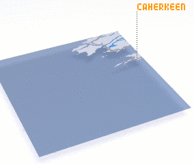 Places with similar names to Caherkeen, Ireland ::
// Kharagana (RU)
// Khara-Gon (RU)
// Kharagun (RU)
// Kharagun (RU)
// Kharagun (RU)
// Kharagun (RU)
// Khara-Ugun (RU)
// Khargana (RU)
// Khargana (RU)
// Khayyrakan (RU)
Disclaimer :: Information on this page comes without warranty of any kind |
||
|
Where is Caherkeen? Elevation and coordinates ::
Latitude (lat): 51°40'34"N Longitude (lon): 10°1'58"W
Elevation (approx.): 58m (map arrows pan, magnifying glasses zoom) |
||
|
Visiting Caherkeen? Hotel/Accommodation ::
Book a hotel in Caherkeen Travel Guide ::
Buy a travel guide for Ireland rental cars ::
car rental offers GPS waypoint ::
download a GPX waypoint (PoI) of Caherkeen for your GPS receiver
|
||