|
search place name
|
||
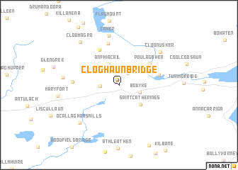
Cloghaun Bridge (An Clár, Ireland)Cloghaun Bridge is a town in the An Clár region of Ireland. An overview map of the region around Cloghaun Bridge is displayed below.
regional and 3d topo map of Cloghaun Bridge, Ireland ::
Cloghaun Bridge airports ::
The nearest airport is SNN - Shannon, located 29.2 km south west of Cloghaun Bridge.
Other airports nearby include GWY - Galway (49.7 km north west), KIR - Kerry (99.9 km south west), NOC - Connaught (113.7 km north), ORK - Cork (117.6 km south), Nearby towns ::
Rossanure (2.0km north east) //
Feakle Lower (2.3km north) //
Lecarrow (2.9km north) //
Annaghneal Bridges (1.8km west) //
Bodyke (2.3km south east) //
Feakle (3.5km north) //
An Fhiacail (3.5km north) //
Saint Catherines (3.7km south east) //
Boherglass (3.7km south east) //
Poulagower (4.4km north east) //
Capparoe (4.2km north east) //
Glenbonniv (5.8km north) //
Derrymore (4.2km north east) //
Kilclaran (6.6km north) //
Garrauncam Bridge (4.5km west) //
Caher (7.8km north) //
Cloonusker (6.5km north east) //
OʼCallaghansmills (7.0km south west) //
Gortnacummer (5.5km west) //
Cloomagro (7.7km north west) //
[all distances 'as the bird flies' and approximate] 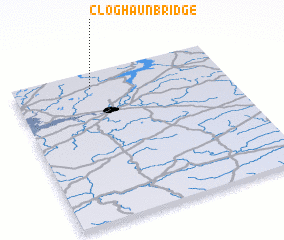 Places with similar names to Cloghaun Bridge, Ireland ::
// Callaghane Bridge (IE)
// Cloghane Bridge (IE)
Disclaimer :: Information on this page comes without warranty of any kind |
||
|
Where is Cloghaun Bridge? Elevation and coordinates ::
Latitude (lat): 52°53'41"N Longitude (lon): 8°37'50"W
Elevation (approx.): 38m (map arrows pan, magnifying glasses zoom) |
||
|
Visiting Cloghaun Bridge? Hotel/Accommodation ::
Book a hotel in Cloghaun Bridge Travel Guide ::
Buy a travel guide for Ireland rental cars ::
car rental offers GPS waypoint ::
download a GPX waypoint (PoI) of Cloghaun Bridge for your GPS receiver
|
||