|
search place name
|
||
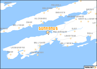
Dunmanus (Corcaigh, Ireland)Dunmanus is a town in the Corcaigh region of Ireland. An overview map of the region around Dunmanus is displayed below.
regional and 3d topo map of Dunmanus, Ireland ::
Dunmanus airports ::
The nearest airport is KIR - Kerry, located 72.3 km north of Dunmanus.
Other airports nearby include ORK - Cork (88.8 km north east), SNN - Shannon (139.4 km north), GWY - Galway (202.4 km north), Nearby towns ::
Toormore (2.4km south east) //
Maulawaddra (2.8km east) //
Gortnaclasha (4.6km north) //
Ballydivin (4.6km south west) //
Kilcrohane (5.5km north) //
Goleen (5.3km south west) //
Callaros Fighter (6.6km south west) //
Caher (5.9km north west) //
Ballybrack (6.2km south east) //
Lowertown (5.5km east) //
Gortnakilly (8.6km north) //
Ahakista (8.1km north) //
An Cruachán (8.3km south) //
Crookhaven (8.3km south) //
[all distances 'as the bird flies' and approximate] 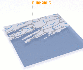 Places with similar names to Dunmanus, Ireland ::
// Tuna Mansa (MX)
// Tuna Mansa (MX)
Disclaimer :: Information on this page comes without warranty of any kind |
||
|
Where is Dunmanus? Elevation and coordinates ::
Latitude (lat): 51°32'16"N Longitude (lon): 9°40'42"W
Elevation (approx.): 4m (map arrows pan, magnifying glasses zoom) |
||
|
Visiting Dunmanus? Hotel/Accommodation ::
Book a hotel in Dunmanus Travel Guide ::
Buy a travel guide for Ireland rental cars ::
car rental offers GPS waypoint ::
download a GPX waypoint (PoI) of Dunmanus for your GPS receiver
|
||