|
search place name
|
||
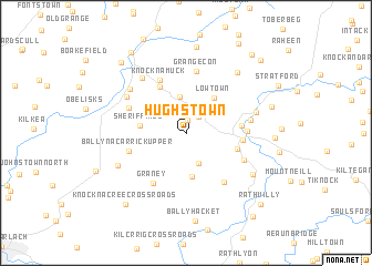
Hughstown (Cill Dara, Ireland)Hughstown is a town in the Cill Dara region of Ireland. An overview map of the region around Hughstown is displayed below.
regional and 3d topo map of Hughstown, Ireland ::
Hughstown airports ::
The nearest airport is DUB - Dublin, located 62.5 km north east of Hughstown.
Other airports nearby include WAT - Waterford (86.9 km south), ORK - Cork (170.0 km south west), ENK - Enniskillen St Angelo (172.4 km north), SXL - Sligo (192.3 km north west), Nearby towns ::
Monatore (1.4km north) //
Tinoranhill Cross Roads (1.8km north east) //
Carrigeen Cross Roads (3.1km south) //
Moneymore (3.6km north) //
Hartstown (3.2km north east) //
Bigstone (4.3km south) //
Lowtown (3.9km north east) //
Lackareagh (3.4km north west) //
Sheriffhill (2.9km west) //
Rampere Cross Roads (3.5km north east) //
Bawnoge (3.4km south east) //
Rathtoole (4.9km north) //
Rathmagree (3.5km east) //
Baltinglass (3.5km east) //
Bealach Conglais (3.5km east) //
Knocknamuck (5.6km north) //
Graney (5.4km south) //
Ballynacarrick Upper (3.9km south west) //
Rathcoran (3.7km east) //
Garrettstown (5.4km south east) //
Grange Con (6.2km north) //
Hill View (4.3km north west) //
Clogh (4.4km south east) //
Eldon Bridge (4.1km east) //
Maoin (5.2km north west) //
Moone (5.2km north west) //
Portersize Cross Roads (6.2km north west) //
Timolin (5.6km north west) //
Tuckmill (4.7km north east) //
[all distances 'as the bird flies' and approximate] 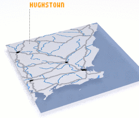 Places with similar names to Hughstown, Ireland ::
Disclaimer :: Information on this page comes without warranty of any kind |
||
|
Where is Hughstown? Elevation and coordinates ::
Latitude (lat): 52°56'34"N Longitude (lon): 6°45'38"W
Elevation (approx.): 179m (map arrows pan, magnifying glasses zoom) |
||
|
Visiting Hughstown? Hotel/Accommodation ::
Book a hotel in Hughstown Travel Guide ::
Buy a travel guide for Ireland rental cars ::
car rental offers GPS waypoint ::
download a GPX waypoint (PoI) of Hughstown for your GPS receiver
|
||