|
search place name
|
||
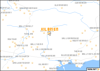
Kilbrien (Port Láirge, Ireland)Kilbrien is a town in the Port Láirge region of Ireland. An overview map of the region around Kilbrien is displayed below.
regional and 3d topo map of Kilbrien, Ireland ::
Kilbrien airports ::
The nearest airport is WAT - Waterford, located 39.0 km east of Kilbrien.
Other airports nearby include ORK - Cork (69.0 km south west), SNN - Shannon (103.4 km north west), KIR - Kerry (127.6 km west), GWY - Galway (151.1 km north west), Nearby towns ::
Scart Bridge (1.0km north west) //
Knockboy (1.8km north west) //
Ballykerin (5.1km south west) //
Colligan Bridge (6.3km south) //
Tooraneena (4.2km west) //
Clooncogaile (4.1km west) //
Tinalira (4.8km west) //
Dalligan Bridge (5.1km east) //
Soldiers Cross Roads (6.0km south west) //
Carrowgarriff (6.5km south west) //
Killadangan (8.6km south) //
Ballynamult (6.0km north west) //
Old Pike Bridge (9.5km south east) //
Graignagower (9.5km north west) //
[all distances 'as the bird flies' and approximate] 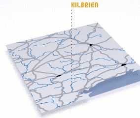 Places with similar names to Kilbrien, Ireland ::
Disclaimer :: Information on this page comes without warranty of any kind |
||
|
Where is Kilbrien? Elevation and coordinates ::
Latitude (lat): 52°11'17"N Longitude (lon): 7°39'27"W
Elevation (approx.): 151m (map arrows pan, magnifying glasses zoom) |
||
|
Visiting Kilbrien? Hotel/Accommodation ::
Book a hotel in Kilbrien Travel Guide ::
Buy a travel guide for Ireland rental cars ::
car rental offers GPS waypoint ::
download a GPX waypoint (PoI) of Kilbrien for your GPS receiver
|
||