|
search place name
|
||
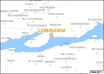
Leaba Shíoda (An Clár, Ireland)Leaba Shíoda is a town in the An Clár region of Ireland. An overview map of the region around Leaba Shíoda is displayed below.
regional and 3d topo map of Leaba Shíoda, Ireland ::
Leaba Shíoda airports ::
The nearest airport is SNN - Shannon, located 23.5 km east of Leaba Shíoda.
Other airports nearby include KIR - Kerry (52.7 km south), GWY - Galway (78.1 km north), ORK - Cork (101.2 km south east), NOC - Connaught (146.1 km north), Nearby towns ::
Labasheeda (0.0km north) //
New Bridge (3.5km north) //
Coolmeen (3.5km north east) //
Kilmurry McMahon (4.5km north west) //
Loghill (4.8km south east) //
Glin (6.4km south) //
An Gleann (6.4km south) //
Effernan (4.9km north east) //
Croony Bridge (7.5km north) //
Kilkerin (4.9km west) //
Aughanloge Bridge (5.4km north west) //
Kinard (8.2km south) //
Tallycreen Bridge (7.0km north west) //
Ballyhahill (8.0km south east) //
Cloonlahard Bridge (9.3km south) //
Goulbourne Bridge (9.5km north west) //
[all distances 'as the bird flies' and approximate] 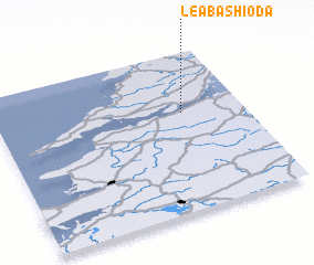 Places with similar names to Leaba Shíoda, Ireland ::
// Labétiado (SN)
// Le Bouchaud (FR)
// Labasheeda (IE)
// La Bouchatte (FR)
// Le Bachot (FR)
// Le Bauchet (FR)
// Le Beauchot (FR)
// Le Bochet (FR)
// Le Bouchaud (FR)
// Le Bouchet (FR)
Disclaimer :: Information on this page comes without warranty of any kind |
||
|
Where is Leaba Shíoda? Elevation and coordinates ::
Latitude (lat): 52°37'24"N Longitude (lon): 9°14'49"W
Elevation (approx.): 11m (map arrows pan, magnifying glasses zoom) |
||
|
Visiting Leaba Shíoda? Hotel/Accommodation ::
Book a hotel in Leaba Shíoda Travel Guide ::
Buy a travel guide for Ireland rental cars ::
car rental offers GPS waypoint ::
download a GPX waypoint (PoI) of Leaba Shíoda for your GPS receiver
|
||