|
search place name
|
||
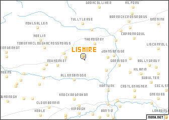
Lismire (Corcaigh, Ireland)Lismire is a town in the Corcaigh region of Ireland. An overview map of the region around Lismire is displayed below.
regional and 3d topo map of Lismire, Ireland ::
Lismire airports ::
The nearest airport is KIR - Kerry, located 39.9 km west of Lismire.
Other airports nearby include SNN - Shannon (52.9 km north), ORK - Cork (53.0 km south east), GWY - Galway (119.4 km north), WAT - Waterford (127.1 km east), Nearby towns ::
Mount Keeffe (2.7km west) //
The Rodney (3.9km north) //
Barleyhill (3.2km north west) //
Allenʼs Bridge (4.6km south) //
Bawn Cross Roads (3.2km east) //
Coolageela Cross Roads (3.7km south east) //
Newmarket (3.9km west) //
Áth Trasna (3.9km west) //
Johnʼs Bridge (4.1km east) //
Raheen Bridge (6.9km north) //
Garrison (4.8km east) //
Tullylease (8.1km north) //
Freemount (6.1km north east) //
Cillín an Chrónáin (6.1km north east) //
Ceann Toirc (7.4km south east) //
Kanturk (7.4km south east) //
Aldworthʼs Bridge (5.3km west) //
Knockardrahan (8.8km south) //
Tobernaclougha Cross Roads (6.1km north west) //
Tarrantʼs Cross Roads (8.2km north east) //
[all distances 'as the bird flies' and approximate] 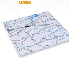 Places with similar names to Lismire, Ireland ::
// Luisa María (CU)
// Luz María (CU)
// Leşmir (RO)
// La Somera (ES)
// Lismore (NZ)
// Lysomarra (RU)
// Lismore (US)
// Lismore (US)
// La Samaria (CO)
// La Samaria (CO)
Disclaimer :: Information on this page comes without warranty of any kind |
||
|
Where is Lismire? Elevation and coordinates ::
Latitude (lat): 52°13'37"N Longitude (lon): 8°56'44"W
Elevation (approx.): 193m (map arrows pan, magnifying glasses zoom) |
||
|
Visiting Lismire? Hotel/Accommodation ::
Book a hotel in Lismire Travel Guide ::
Buy a travel guide for Ireland rental cars ::
car rental offers GPS waypoint ::
download a GPX waypoint (PoI) of Lismire for your GPS receiver
|
||