|
search place name
|
||
Portraine (Baile Átha Cliath, Ireland)Portraine is a town in the Baile Átha Cliath region of Ireland. An overview map of the region around Portraine is displayed below.
regional and 3d topo map of Portraine, Ireland ::

Portraine airports ::
The nearest airport is DUB - Dublin, located 13.5 km south west of Portraine.
Other airports nearby include IOM - Isle Of Man (117.8 km north east), BHD - Belfast City (125.8 km north), BFS - Belfast Aldergrove (129.4 km north), ENK - Enniskillen St Angelo (142.5 km north west), Nearby towns ::
An Ros (3.1km north) //
Rush (3.1km north) //
Corballis (3.0km south west) //
Ballisk (2.6km west) //
Donabate (2.9km west) //
Domhnach Bat (2.9km west) //
Loughshinny (6.1km north) //
Sea Mount (6.3km south) //
Mullach Íde (5.8km south west) //
Malahide (5.8km south west) //
Greatcommon (5.8km north west) //
Lusca (5.2km north west) //
Lusk (5.2km north west) //
Saint Marnocks (7.4km south) //
Seafield (5.0km south west) //
Balcunnin (7.8km north) //
Baldongan (7.4km north west) //
Port Mearnóg (8.4km south) //
Portmarnock (8.4km south) //
Feltrim (8.1km south west) //
Kinsaley (9.1km south west) //
[all distances 'as the bird flies' and approximate] 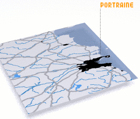 Places with similar names to Portraine, Ireland ::
// Praitórion (GR)
// Puerto Araña (BO)
Disclaimer :: Information on this page comes without warranty of any kind |
||
|
Where is Portraine? Elevation and coordinates ::
Latitude (lat): 53°29'48"N Longitude (lon): 6°6'40"W
Elevation (approx.): 3m (map arrows pan, magnifying glasses zoom) |
||
|
Visiting Portraine? Hotel/Accommodation ::
Book a hotel in Portraine Travel Guide ::
Buy a travel guide for Ireland rental cars ::
car rental offers GPS waypoint ::
download a GPX waypoint (PoI) of Portraine for your GPS receiver
|
||