|
search place name
|
||
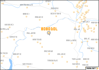
Bobodol (Croatia)Bobodol is a town in Croatia. An overview map of the region around Bobodol is displayed below.
regional and 3d topo map of Bobodol, Croatia ::
Bobodol airports ::
The nearest airport is SPU - Split, located 52.5 km south of Bobodol.
Other airports nearby include ZAD - Zadar (62.4 km west), OMO - Mostar (160.8 km south east), RJK - Rijeka (182.9 km north west), ZAG - Zagreb (194.7 km north), Nearby towns ::
Čitluk (4.0km south west) //
Mratovo (4.2km south west) //
Oklaj (4.9km south west) //
Puljane (4.9km west) //
Radučić (6.5km north west) //
Razvođe (7.2km south) //
Očestovo (7.5km north) //
Ramljane (6.7km south east) //
Velušić (8.9km south) //
Babići (9.5km north west) //
[all distances 'as the bird flies' and approximate] 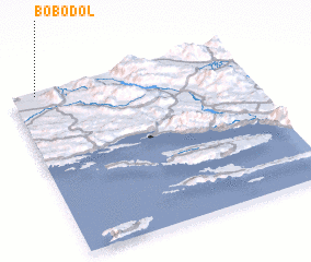 Places with similar names to Bobodol, Croatia ::
// Bobadela (PT)
// Bobadela (PT)
// Bobadela (PT)
// Bobadela (PT)
// Babi Dół (PL)
// Babie Doły (PL)
// Bou Abdallah (TN)
// Bobadela (ES)
// Bobadela (ES)
// Bobadilla (ES)
Disclaimer :: Information on this page comes without warranty of any kind |
||
|
Where is Bobodol? Elevation and coordinates ::
Latitude (lat): 43°59'27"N Longitude (lon): 16°6'28"E
Elevation (approx.): 272m (map arrows pan, magnifying glasses zoom) |
||
|
Visiting Bobodol? Hotel/Accommodation ::
Book a hotel in Bobodol Travel Guide ::
Buy a travel guide for Croatia rental cars ::
car rental offers GPS waypoint ::
download a GPX waypoint (PoI) of Bobodol for your GPS receiver
|
||