|
search place name
|
||
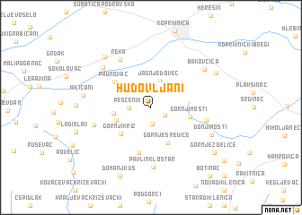
Hudovljani (Croatia)Hudovljani is a town in Croatia. An overview map of the region around Hudovljani is displayed below.
regional and 3d topo map of Hudovljani, Croatia ::
Hudovljani airports ::
The nearest airport is ZAG - Zagreb, located 67.9 km south west of Hudovljani.
Other airports nearby include MBX - Maribor (96.9 km north west), GRZ - Graz (145.8 km north west), ZAD - Zadar (246.9 km south west), Nearby towns ::
Gornja Velika (1.5km south east) //
Donja Velika (2.0km south) //
Peščenik (1.9km west) //
Jagnjedovec (3.3km north) //
Donji Maslarec (3.4km south west) //
Gornji Maslarec (3.3km west) //
Gornje Sredice (4.6km south) //
Gornji Križ (4.2km south west) //
Gornji Mosti (3.6km east) //
Paunovac (4.5km north west) //
Jakopovac Kapelski (5.8km south) //
Srednje Mosti (5.0km east) //
Reka (6.5km north west) //
Pavlin Kloštar (7.4km south) //
Široko Selo (5.4km south west) //
Velika Mučna (6.5km north west) //
Bakovčica (6.6km north east) //
Donji Mosti (6.2km south east) //
Domaji (7.4km north west) //
Miličani (6.1km west) //
Glogovac (7.1km north east) //
Domanjkuš (8.9km south) //
Gornje Zdelice (7.9km south east) //
Botinac (9.9km south east) //
[all distances 'as the bird flies' and approximate] 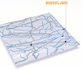 Places with similar names to Hudovljani, Croatia :: Disclaimer :: Information on this page comes without warranty of any kind |
||
|
Where is Hudovljani? Elevation and coordinates ::
Latitude (lat): 46°4'36"N Longitude (lon): 16°48'5"E
Elevation (approx.): 225m (map arrows pan, magnifying glasses zoom) |
||
|
Visiting Hudovljani? Hotel/Accommodation ::
Book a hotel in Hudovljani Travel Guide ::
Buy a travel guide for Croatia rental cars ::
car rental offers GPS waypoint ::
download a GPX waypoint (PoI) of Hudovljani for your GPS receiver
|
||