|
search place name
|
||
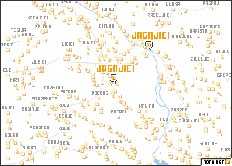
Jagnjići (Croatia)Jagnjići is a town in Croatia. An overview map of the region around Jagnjići is displayed below.
regional and 3d topo map of Jagnjići, Croatia ::
Jagnjići airports ::
The nearest airport is SPU - Split, located 32.9 km south west of Jagnjići.
Other airports nearby include OMO - Mostar (105.7 km south east), ZAD - Zadar (115.6 km north west), SJJ - Sarajevo (135.8 km east), DBV - Dubrovnik (180.5 km south east), Nearby towns ::
Mandaci (0.3km south east) //
Brnaze (0.6km west) //
Čarići (0.7km south west) //
Klarići (1.3km south) //
Marići (1.3km north west) //
Cukušići (1.7km south) //
Šabići (1.9km north west) //
Klarić Kukuz (2.1km south) //
Radovići (1.5km west) //
Rožani (2.2km south) //
Vučkovići (2.3km north west) //
Perići (2.8km south) //
Gugići (2.2km west) //
Romci (3.1km north) //
Kovačevići (3.1km south) //
Sinj (3.1km north west) //
Turjaci (3.3km south) //
Križanac (2.5km west) //
Jelinčići (3.3km north east) //
Donji Radošić (2.6km west) //
Podrug (3.2km south west) //
Mažurin (2.7km west) //
Hajdukovići (2.7km west) //
Budimir Bekan (3.6km south) //
Radošić (2.8km west) //
Župići (2.9km west) //
Bogdani (3.8km north) //
Poljak (3.9km north) //
Jadrijevići (3.9km north) //
[all distances 'as the bird flies' and approximate] 
Disclaimer :: Information on this page comes without warranty of any kind |
||
|
Where is Jagnjići? Elevation and coordinates ::
Latitude (lat): 43°40'43"N Longitude (lon): 16°39'27"E
Elevation (approx.): 353m (map arrows pan, magnifying glasses zoom) |
||
|
Visiting Jagnjići? Hotel/Accommodation ::
Book a hotel in Jagnjići Travel Guide ::
Buy a travel guide for Croatia rental cars ::
car rental offers GPS waypoint ::
download a GPX waypoint (PoI) of Jagnjići for your GPS receiver
|
||