|
search place name
|
||
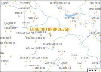
Lekenik Turopoljski (Croatia)Lekenik Turopoljski is a town in Croatia. An overview map of the region around Lekenik Turopoljski is displayed below.
regional and 3d topo map of Lekenik Turopoljski, Croatia ::
Lekenik Turopoljski airports ::
The nearest airport is ZAG - Zagreb, located 18.9 km north west of Lekenik Turopoljski.
Other airports nearby include MBX - Maribor (105.6 km north), RJK - Rijeka (134.5 km west), LJU - Ljubliana Ljubljana (151.9 km north west), GRZ - Graz (165.4 km north), Nearby towns ::
Lekenik Erdedski (0.0km north) //
Lekenik (1.8km south east) //
Peščenica (2.5km west) //
Poljana Lekenička (4.1km south) //
Brežane Lekeničke (4.3km south west) //
Donji Vukojevac (5.2km west) //
Cerje Letovaničko (6.8km south west) //
Dužica (7.5km south east) //
Turopolje (7.0km north west) //
Ogulinac (6.2km north west) //
Veleševec (7.6km north east) //
Rakitovec (8.4km north west) //
Kuće (9.6km north west) //
Prevlaka (10.3km north east) //
[all distances 'as the bird flies' and approximate] 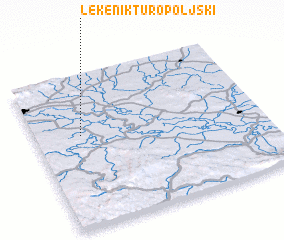 Places with similar names to Lekenik Turopoljski, Croatia :: Disclaimer :: Information on this page comes without warranty of any kind |
||
|
Where is Lekenik Turopoljski? Elevation and coordinates ::
Latitude (lat): 45°36'0"N Longitude (lon): 16°12'0"E
Elevation (approx.): 115m (map arrows pan, magnifying glasses zoom) |
||
|
Visiting Lekenik Turopoljski? Hotel/Accommodation ::
Book a hotel in Lekenik Turopoljski Travel Guide ::
Buy a travel guide for Croatia rental cars ::
car rental offers GPS waypoint ::
download a GPX waypoint (PoI) of Lekenik Turopoljski for your GPS receiver
|
||