|
search place name
|
||
Lovrečica (Istarska Županija, Croatia)Lovrečica is a town in the Istarska Županija region of Croatia. An overview map of the region around Lovrečica is displayed below.
regional and 3d topo map of Lovrečica, Croatia ::

Lovrečica airports ::
The nearest airport is POW - Portoroz, located 11.7 km north east of Lovrečica.
Other airports nearby include TRS - Ronchi De Legionari Ronchi Dei Legionari (49.8 km north), PUY - Pula (62.0 km south east), RJK - Rijeka (82.8 km east), VCE - Venice Venezia Tessera (94.0 km west), Nearby towns ::
Sveti Ivan (1.5km north) //
Donji Babići (1.9km north east) //
Pelegrin (2.4km north) //
Karigador (2.6km south east) //
Seget (3.0km north) //
Dajla (3.6km south) //
Koreniki (3.2km north east) //
Radini (3.2km east) //
Gornji Babići (3.4km east) //
Petrovija (4.8km north east) //
Fiorini (4.3km south east) //
Umag (5.7km north) //
Čepljani (4.5km north east) //
Marinčići (4.7km east) //
Filipac (6.0km south east) //
Karpinjan (6.7km south) //
Bužinija (5.8km south east) //
Buroli (5.3km east) //
Vilanija (6.8km north east) //
Novigrad (7.6km south) //
Materada (5.7km north east) //
Murine (7.8km north) //
(( Krase )) (7.8km north) //
Kmeti (8.1km north) //
Karšete (6.2km east) //
Marija na Krasu (8.3km north east) //
Antenal (8.3km south east) //
[all distances 'as the bird flies' and approximate] 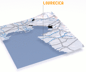 Places with similar names to Lovrečica, Croatia ::
// Le Versegge (IT)
Disclaimer :: Information on this page comes without warranty of any kind |
||
|
Where is Lovrečica? Elevation and coordinates ::
Latitude (lat): 45°22'55"N Longitude (lon): 13°32'26"E
Elevation (approx.): 2m (map arrows pan, magnifying glasses zoom) |
||
|
Visiting Lovrečica? Hotel/Accommodation ::
Book a hotel in Lovrečica Travel Guide ::
Buy a travel guide for Croatia rental cars ::
car rental offers GPS waypoint ::
download a GPX waypoint (PoI) of Lovrečica for your GPS receiver
|
||