|
search place name
|
||
Miholjački Poreč (Croatia)Miholjački Poreč is a town in Croatia. An overview map of the region around Miholjački Poreč is displayed below.
regional and 3d topo map of Miholjački Poreč, Croatia ::

Miholjački Poreč airports ::
The nearest airport is OSI - Osijek, located 54.5 km south east of Miholjački Poreč.
Other airports nearby include SJJ - Sarajevo (208.4 km south), BUD - Budapest Ferihegy (209.6 km north), Nearby towns ::
Rakitovica (2.1km north) //
Radikovci (1.5km east) //
Golinci (2.6km west) //
Šljivoševci (4.5km south) //
Čamagajevci (4.4km east) //
Beničanci (6.8km south) //
Sveti Ðurađ (5.9km north east) //
Lacići (7.0km south) //
Kabalna (5.2km west) //
Donji Miholjac (7.4km north) //
Bočkinci (5.7km east) //
Kućanci (6.7km south west) //
Podgajci Podravski (6.6km north east) //
Krunoslavje (6.3km west) //
[all distances 'as the bird flies' and approximate] 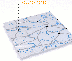 Places with similar names to Miholjački Poreč, Croatia :: Disclaimer :: Information on this page comes without warranty of any kind |
||
|
Where is Miholjački Poreč? Elevation and coordinates ::
Latitude (lat): 45°41'52"N Longitude (lon): 18°11'52"E
Elevation (approx.): 92m (map arrows pan, magnifying glasses zoom) |
||
|
Visiting Miholjački Poreč? Hotel/Accommodation ::
Book a hotel in Miholjački Poreč Travel Guide ::
Buy a travel guide for Croatia rental cars ::
car rental offers GPS waypoint ::
download a GPX waypoint (PoI) of Miholjački Poreč for your GPS receiver
|
||