|
search place name
|
||
Okoli (Sisačko-Moslavačka Županija, Croatia)Okoli is a town in the Sisačko-Moslavačka Županija region of Croatia. An overview map of the region around Okoli is displayed below.
regional and 3d topo map of Okoli, Croatia ::

Okoli airports ::
The nearest airport is ZAG - Zagreb, located 39.2 km north west of Okoli.
Other airports nearby include MBX - Maribor (118.1 km north west), RJK - Rijeka (158.4 km west), GRZ - Graz (176.5 km north west), ZAD - Zadar (189.2 km south west), Nearby towns ::
Vezišće (2.9km north) //
Donja Jelenska (4.5km south east) //
Okešinec (4.9km north) //
Obedišće (5.3km north east) //
Vidrenjak (4.6km north east) //
Zapolica (6.4km south) //
Novoselec (6.9km north) //
Mala Hrastilnica (6.7km north) //
Grabrov Potok (5.0km east) //
Velika Hrastilnica (7.2km north west) //
Stružec (7.5km south) //
Križ (8.2km north) //
Velika Ludina (6.1km east) //
Konšćani (8.6km north) //
Potok (7.1km south east) //
Mala Ludina (6.6km north east) //
Johovac (8.9km north) //
Rečica Kriška (9.0km north east) //
Kompator (8.5km north east) //
[all distances 'as the bird flies' and approximate] 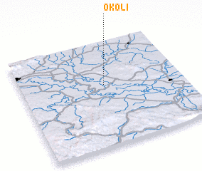 Places with similar names to Okoli, Croatia ::
Disclaimer :: Information on this page comes without warranty of any kind |
||
|
Where is Okoli? Elevation and coordinates ::
Latitude (lat): 45°35'30"N Longitude (lon): 16°31'21"E
Elevation (approx.): 96m (map arrows pan, magnifying glasses zoom) |
||
|
Visiting Okoli? Hotel/Accommodation ::
Book a hotel in Okoli Travel Guide ::
Buy a travel guide for Croatia rental cars ::
car rental offers GPS waypoint ::
download a GPX waypoint (PoI) of Okoli for your GPS receiver
|
||