|
search place name
|
||
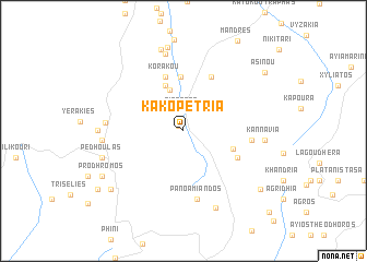
Kakopetria (Cyprus)Kakopetria is a town in Cyprus. An overview map of the region around Kakopetria is displayed below.
regional and 3d topo map of Kakopetria, Cyprus ::
Kakopetria airports ::
The nearest airport is AKT - Akrotiri, located 45.2 km south of Kakopetria.
Other airports nearby include PFO - Paphos Pafos Intl (48.8 km south west), LCA - Larnaca (67.1 km east), Nearby towns ::
Galata (0.6km north west) //
Sina Oros (2.1km north) //
Kaliana (2.6km north west) //
Tembria (4.3km north) //
Agroladhou (4.9km north) //
Kourdhali (4.6km south east) //
Evrykhou (5.5km north) //
Korakou (5.8km north) //
Ayios Theodhoros (6.0km north east) //
Spilia (5.3km south east) //
Ayia Irini (5.8km east) //
Pano Amiandos (7.0km south) //
Nikos (6.6km west) //
Kato Phlasou (8.0km north) //
Moutoullas (6.9km west) //
Kannavia (6.9km east) //
Kato Amiandos (8.3km south) //
Ayios Epiphanios (8.6km north) //
Pano Phlasou (8.6km north) //
Pedhoulas (7.4km west) //
Kalopanayiotis (7.2km west) //
Prodhromos (8.3km south west) //
Trikoukkia (8.6km south west) //
Kyperounda (8.8km south east) //
Asinou (9.1km north east) //
Paleomylos (9.4km south west) //
Dhymes (11.0km south east) //
[all distances 'as the bird flies' and approximate] 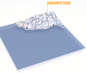 Places with similar names to Kakopetria, Cyprus ::
// Kākeputra (PK)
Disclaimer :: Information on this page comes without warranty of any kind |
||
|
Where is Kakopetria? Elevation and coordinates ::
Latitude (lat): 34°59'30"N Longitude (lon): 32°54'15"E
Elevation (approx.): 656m (map arrows pan, magnifying glasses zoom) |
||
|
Visiting Kakopetria? Hotel/Accommodation ::
Book a hotel in Kakopetria Travel Guide ::
Buy a travel guide for Cyprus rental cars ::
car rental offers GPS waypoint ::
download a GPX waypoint (PoI) of Kakopetria for your GPS receiver
|
||