|
search place name
|
||
Amfreville-sous-les-Monts (Haute-Normandie, France)Amfreville-sous-les-Monts is a town in the Haute-Normandie region of France. An overview map of the region around Amfreville-sous-les-Monts is displayed below.
regional and 3d topo map of Amfreville-sous-les-Monts, France ::

Amfreville-sous-les-Monts airports ::
The nearest airport is URO - Rouen Vallee De Seine, located 11.5 km north west of Amfreville-sous-les-Monts.
Other airports nearby include POX - Pontoise Cormeilles En Vexin (60.8 km east), BVA - Beauvais Tille (63.8 km east), DOL - Deauville St Gatien (81.2 km west), TNF - Toussous-le-noble Toussus Le Noble (86.5 km south east), Nearby towns ::
Le Mesnil de Poses (0.0km north) //
Senneville (1.2km east) //
Tournedos-sur-Seine (1.9km south) //
Poses (1.2km west) //
Vatteville (2.2km south east) //
Flipou (2.2km north east) //
Romilly-sur-Andelle (3.7km north) //
Pont-Saint-Pierre (3.7km north) //
Port-Pinché (3.9km south) //
Pitres (3.0km north west) //
Daubeuf-près-Vatteville (4.4km south east) //
Douville-sur-Andelle (4.4km north east) //
Connelles (5.6km south) //
Herqueville (5.6km south) //
Porte-Joie (5.7km south) //
Léry (4.1km south west) //
Aumare (4.1km south east) //
Amfreville-les-Champs (4.1km north east) //
Notre-Dame-du-Vaudreuil (5.2km south west) //
Heuqueville (5.2km east) //
Le Manoir (5.2km west) //
Le Vaudreuil (6.6km south west) //
Saint-Étienne-du-Vauvray (6.6km south west) //
Andé (7.8km south) //
La Neuville-Champ-dʼOisel (7.8km north) //
La Roquette (7.4km south east) //
Radepont (7.4km north east) //
Saint-Cyr-du-Vaudreuil (7.4km south west) //
Saint-Pierre-du-Vauvray (8.3km south west) //
[all distances 'as the bird flies' and approximate] 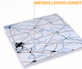 Places with similar names to Amfreville-sous-les-Monts, France :: Disclaimer :: Information on this page comes without warranty of any kind |
||
|
Where is Amfreville-sous-les-Monts? Elevation and coordinates ::
Latitude (lat): 49°18'0"N Longitude (lon): 1°16'0"E
Elevation (approx.): 68m (map arrows pan, magnifying glasses zoom) |
||
|
Visiting Amfreville-sous-les-Monts? Hotel/Accommodation ::
Book a hotel in Amfreville-sous-les-Monts Travel Guide ::
Buy a travel guide for France rental cars ::
car rental offers GPS waypoint ::
download a GPX waypoint (PoI) of Amfreville-sous-les-Monts for your GPS receiver
|
||