|
search place name
|
||
Argentières (Auvergne, France)Argentières is a town in the Auvergne region of France. An overview map of the region around Argentières is displayed below.
regional and 3d topo map of Argentières, France ::

Argentières airports ::
The nearest airport is LPY - Le Puy Loudes, located 22.9 km south of Argentières.
Other airports nearby include EBU - St.-etienne Boutheon (47.2 km north east), CFE - Clermont Ferrand Auvergne (75.4 km north west), RNE - Roanne Renaison (87.3 km north), MEN - Mende Brenoux (89.7 km south), Nearby towns ::
Beaune-sur-Arzon (0.0km north) //
Refourgan (1.9km south) //
Cheyrac-lʼAigue (1.3km west) //
Chomelix (2.3km south east) //
Chadouard (2.3km south west) //
Le Mont (2.6km west) //
Arzac (3.2km south east) //
Doulioux (3.2km north east) //
Plagne (3.2km south west) //
Combre (3.9km north) //
Jullianges (3.2km north west) //
Les Estables (4.5km south west) //
Ollias (5.7km north) //
Serres (4.3km south west) //
Sassac (4.3km south east) //
Cheyrac (5.7km north) //
Doupis (5.7km north) //
Fontannes (4.3km north west) //
La Fretisse (4.3km north east) //
Ligonzac (5.7km south) //
Craponne-sur-Arzon (6.1km north east) //
Ouffour (5.4km south west) //
Nolhac (5.4km south east) //
Bonnefont (6.1km north west) //
Saint-Victor-sur-Arlanc (6.1km north west) //
Beaumont (5.4km north west) //
Bougerne (5.4km north east) //
Bellevue-la-Montagne (7.4km south) //
Trivis (7.4km north) //
[all distances 'as the bird flies' and approximate] 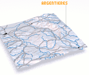 Places with similar names to Argentières, France ::
// Argentières (FR)
// Argentières (FR)
Disclaimer :: Information on this page comes without warranty of any kind |
||
|
Where is Argentières? Elevation and coordinates ::
Latitude (lat): 45°17'0"N Longitude (lon): 3°49'0"E
Elevation (approx.): 897m (map arrows pan, magnifying glasses zoom) |
||
|
Visiting Argentières? Hotel/Accommodation ::
Book a hotel in Argentières Travel Guide ::
Buy a travel guide for France rental cars ::
car rental offers GPS waypoint ::
download a GPX waypoint (PoI) of Argentières for your GPS receiver
|
||