|
search place name
|
||
Assignan (Languedoc-Roussillon, France)Assignan is a town in the Languedoc-Roussillon region of France. An overview map of the region around Assignan is displayed below.
regional and 3d topo map of Assignan, France ::

Assignan airports ::
The nearest airport is BZR - Beziers Vias, located 39.1 km east of Assignan.
Other airports nearby include CCF - Carcassonne Salvaza (51.1 km south west), DCM - Castres Mazamet (51.1 km west), PGF - Perpignan Rivesaltes (73.3 km south), LBI - Albi Le Sequestre (84.4 km north west), Nearby towns ::
Villespassans (2.3km south east) //
Babeau-Bouldoux (3.9km north) //
Bouldoux (3.9km north) //
Saint-Jean-de-Minervois (4.4km south west) //
Pardailhan (6.2km north west) //
Montouliers (7.5km south) //
Saint-Chinian (5.7km east) //
Agel (7.9km south) //
Cruzy (7.7km south east) //
Aigne (9.2km south west) //
Aigues-Vives (9.2km south west) //
[all distances 'as the bird flies' and approximate] 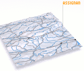
Disclaimer :: Information on this page comes without warranty of any kind |
||
|
Where is Assignan? Elevation and coordinates ::
Latitude (lat): 43°24'0"N Longitude (lon): 2°53'0"E
Elevation (approx.): 294m (map arrows pan, magnifying glasses zoom) |
||
|
Visiting Assignan? Hotel/Accommodation ::
Book a hotel in Assignan Travel Guide ::
Buy a travel guide for France rental cars ::
car rental offers GPS waypoint ::
download a GPX waypoint (PoI) of Assignan for your GPS receiver
|
||