|
search place name
|
||
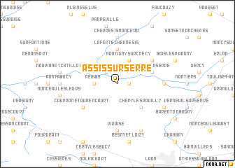
Assis-sur-Serre (Picardie, France)Assis-sur-Serre is a town in the Picardie region of France. An overview map of the region around Assis-sur-Serre is displayed below.
regional and 3d topo map of Assis-sur-Serre, France ::
Assis-sur-Serre airports ::
The nearest airport is RHE - Reims Champagne, located 54.3 km south east of Assis-sur-Serre.
Other airports nearby include CSF - Creil (89.7 km south west), LIL - Lille Lesquin (103.5 km north), CDG - Paris Charles De Gaulle (105.0 km south west), CRL - Charleroi Brussels South (107.1 km north east), Nearby towns ::
Pouilly-sur-Serre (1.2km east) //
Mesbrecourt-Richecourt (2.2km north west) //
Remies (2.4km west) //
Montigny-sur-Crécy (3.9km north) //
Chéry-lès-Pouilly (4.4km south east) //
La Ferté-Chevresis (5.6km north) //
Crécy-sur-Serre (4.0km north east) //
Couvron-et-Aumencourt (5.2km south west) //
Pargny-lès-Bois (5.2km north east) //
Vivaise (7.4km south) //
Chalandry (4.8km east) //
Chevresis-Monceau (7.4km north) //
Aulnois-sous-Laon (7.8km south) //
Barenton-Cel (6.1km south east) //
[all distances 'as the bird flies' and approximate] 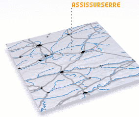 Places with similar names to Assis-sur-Serre, France :: Disclaimer :: Information on this page comes without warranty of any kind |
||
|
Where is Assis-sur-Serre? Elevation and coordinates ::
Latitude (lat): 49°41'0"N Longitude (lon): 3°34'0"E
Elevation (approx.): 71m (map arrows pan, magnifying glasses zoom) |
||
|
Visiting Assis-sur-Serre? Hotel/Accommodation ::
Book a hotel in Assis-sur-Serre Travel Guide ::
Buy a travel guide for France rental cars ::
car rental offers GPS waypoint ::
download a GPX waypoint (PoI) of Assis-sur-Serre for your GPS receiver
|
||