|
search place name
|
||
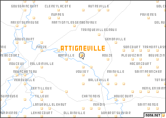
Attignéville (Lorraine, France)Attignéville is a town in the Lorraine region of France. An overview map of the region around Attignéville is displayed below.
regional and 3d topo map of Attignéville, France ::
Attignéville airports ::
The nearest airport is EPL - Epinal Mirecourt, located 19.9 km east of Attignéville.
Other airports nearby include ENC - Nancy Essey (46.0 km north east), ETZ - Metz Nancy Lorraine (73.9 km north east), MZM - Metz Frescaty (80.0 km north), CMR - Colmar Houssen (118.5 km east), Nearby towns ::
Houéville (1.9km south) //
Rémoville (2.2km south east) //
Vouxey (3.7km south) //
Harchéchamp (2.5km west) //
Barville (2.5km west) //
Dolaincourt (5.6km south) //
Courcelles-sous-Châtenois (5.6km south) //
Aouze (3.7km east) //
Autigny-la-Tour (4.1km north west) //
Balléville (6.1km south east) //
Tranqueville-Graux (6.1km north east) //
Martigny-lès-Gerbonvaux (7.5km north) //
Viocourt (6.7km south east) //
Rainville (6.2km south east) //
Rouvres-la-Chétive (7.8km south) //
Gémonville (6.2km north east) //
Saint-paul (7.4km south east) //
[all distances 'as the bird flies' and approximate] 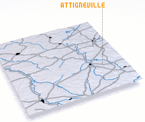 Places with similar names to Attignéville, France ::
// Atkinville (US)
// Aitkenvale (AU)
Disclaimer :: Information on this page comes without warranty of any kind |
||
|
Where is Attignéville? Elevation and coordinates ::
Latitude (lat): 48°23'0"N Longitude (lon): 5°49'0"E
Elevation (approx.): 319m (map arrows pan, magnifying glasses zoom) |
||
|
Visiting Attignéville? Hotel/Accommodation ::
Book a hotel in Attignéville Travel Guide ::
Buy a travel guide for France rental cars ::
car rental offers GPS waypoint ::
download a GPX waypoint (PoI) of Attignéville for your GPS receiver
|
||