|
search place name
|
||
Autichamp (Rhône-Alpes, France)Autichamp is a town in the Rhône-Alpes region of France. An overview map of the region around Autichamp is displayed below.
regional and 3d topo map of Autichamp, France ::

Autichamp airports ::
The nearest airport is VAF - Valence Chabeuil, located 26.5 km north of Autichamp.
Other airports nearby include OBS - Aubenas-vals-lanas Ardeche Meridionale (48.4 km west), GNB - Grenoble Saint Geoirs (81.2 km north), AVN - Avignon Caumont (86.3 km south), LPY - Le Puy Loudes (103.7 km north west), Nearby towns ::
La Roche-sur-Grane (1.3km west) //
Auriples (3.9km south) //
Chabrillan (3.9km north) //
La Répara (4.4km south east) //
Puy-Saint-Martin (5.7km south) //
Roynac (5.7km south) //
Grâne (6.2km north west) //
Cléon-dʼAndran (7.5km south) //
Divajeu (5.6km east) //
Soyans (7.7km south east) //
[all distances 'as the bird flies' and approximate] 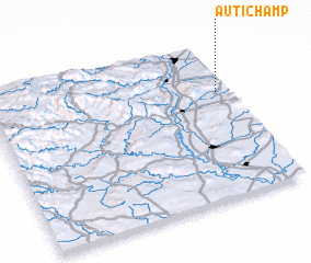 Places with similar names to Autichamp, France :: Disclaimer :: Information on this page comes without warranty of any kind |
||
|
Where is Autichamp? Elevation and coordinates ::
Latitude (lat): 44°41'0"N Longitude (lon): 4°57'0"E
Elevation (approx.): 246m (map arrows pan, magnifying glasses zoom) |
||
|
Visiting Autichamp? Hotel/Accommodation ::
Book a hotel in Autichamp Travel Guide ::
Buy a travel guide for France rental cars ::
car rental offers GPS waypoint ::
download a GPX waypoint (PoI) of Autichamp for your GPS receiver
|
||