|
search place name
|
||
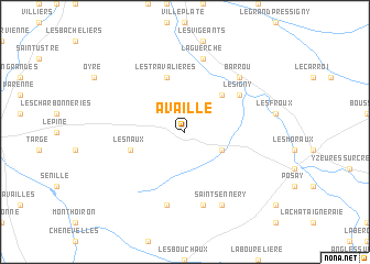
Availlé (Poitou-Charentes, France)Availlé is a town in the Poitou-Charentes region of France. An overview map of the region around Availlé is displayed below.
regional and 3d topo map of Availlé, France ::
Availlé airports ::
The nearest airport is PIS - Poitiers Biard, located 40.4 km south west of Availlé.
Other airports nearby include TUF - Tours Val De Loire (68.4 km north), CHR - Chateauroux Deols (77.5 km east), NIT - Niort Souche (102.5 km south west), LIG - Limoges Bellegarde (111.9 km south), Nearby towns ::
Coussay-les-Bois (3.1km south east) //
Mairé (4.5km north east) //
Les Naux (4.2km south west) //
Les Travalières (5.7km north) //
Lésigny (5.3km north east) //
La Guerche (7.5km north) //
Pleumartin (7.5km south) //
Leigné-les-Bois (7.5km south) //
Barrou (6.7km north east) //
Saint-Sennery (7.8km south) //
[all distances 'as the bird flies' and approximate] 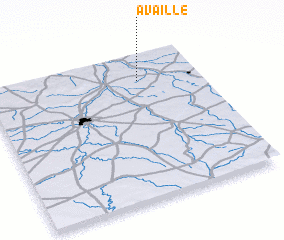 Places with similar names to Availlé, France ::
Disclaimer :: Information on this page comes without warranty of any kind |
||
|
Where is Availlé? Elevation and coordinates ::
Latitude (lat): 46°49'0"N Longitude (lon): 0°43'0"W
Elevation (approx.): 96m (map arrows pan, magnifying glasses zoom) |
||
|
Visiting Availlé? Hotel/Accommodation ::
Book a hotel in Availlé Travel Guide ::
Buy a travel guide for France rental cars ::
car rental offers GPS waypoint ::
download a GPX waypoint (PoI) of Availlé for your GPS receiver
|
||