|
search place name
|
||
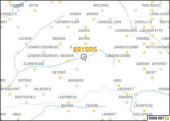
Bayons (Provence-Alpes-Côte dʼAzur, France)Bayons is a town in the Provence-Alpes-Côte dʼAzur region of France. An overview map of the region around Bayons is displayed below.
regional and 3d topo map of Bayons, France ::
Bayons airports ::
The nearest airport is CEQ - Cannes Mandelieu, located 108.3 km south east of Bayons.
Other airports nearby include AVN - Avignon Caumont (111.8 km south west), QXB - Aix-les-milles Aix Les Milles (112.1 km south west), NCE - Nice Cote D Azur (112.7 km south east), VAF - Valence Chabeuil (115.3 km north west), Nearby towns ::
Esparron-la-Bâtie (2.3km south west) //
Sueuil (2.3km north west) //
Le Forest de la Cour (2.7km west) //
Bedouin (2.7km west) //
Astoin (3.7km north) //
Gierre (5.6km north) //
Beaudina (5.7km south) //
Reynier (5.4km south west) //
Rouinon (5.4km north west) //
La Basse Combe (5.3km east) //
Turriers (7.4km north) //
Le Forest-Loin (7.9km north) //
Vaux (7.7km south east) //
Les Aguillons (8.4km north east) //
Le Bez (8.4km north east) //
Faucon-du-Caire (9.1km north west) //
[all distances 'as the bird flies' and approximate] 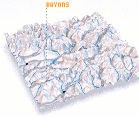 Places with similar names to Bayons, France ::
Disclaimer :: Information on this page comes without warranty of any kind |
||
|
Where is Bayons? Elevation and coordinates ::
Latitude (lat): 44°20'0"N Longitude (lon): 6°10'0"E
Elevation (approx.): 931m (map arrows pan, magnifying glasses zoom) |
||
|
Visiting Bayons? Hotel/Accommodation ::
Book a hotel in Bayons Travel Guide ::
Buy a travel guide for France rental cars ::
car rental offers GPS waypoint ::
download a GPX waypoint (PoI) of Bayons for your GPS receiver
|
||