|
search place name
|
||
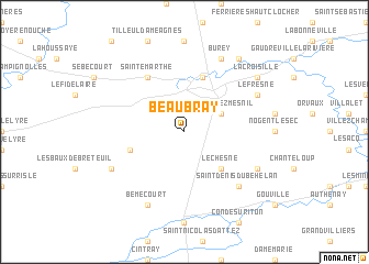
Beaubray (Haute-Normandie, France)Beaubray is a town in the Haute-Normandie region of France. An overview map of the region around Beaubray is displayed below.
regional and 3d topo map of Beaubray, France ::
Beaubray airports ::
The nearest airport is URO - Rouen Vallee De Seine, located 55.3 km north of Beaubray.
Other airports nearby include DOL - Deauville St Gatien (74.7 km north west), POX - Pontoise Cormeilles En Vexin (84.6 km east), TNF - Toussous-le-noble Toussus Le Noble (89.2 km east), LEH - Le Havre Octeville (91.4 km north west), Nearby towns ::
Nagel-Séez-Mesnil (3.1km north east) //
Le Chesne (4.4km south east) //
Conches-en-Ouche (5.7km north) //
Sainte-Marguerite-de-lʼAutel (4.1km south west) //
Sainte-Marthe (6.1km north west) //
Saint-Denis-du-Béhélan (6.7km south east) //
Burey (7.8km north) //
Le Fresne (6.1km north east) //
Les Essarts (6.1km south east) //
Bémécourt (7.8km south) //
Guernanville (6.1km south west) //
Saint-Élier (8.3km north east) //
La Croisille (7.4km north east) //
[all distances 'as the bird flies' and approximate] 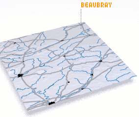 Places with similar names to Beaubray, France ::
Disclaimer :: Information on this page comes without warranty of any kind |
||
|
Where is Beaubray? Elevation and coordinates ::
Latitude (lat): 48°55'0"N Longitude (lon): 0°55'0"W
Elevation (approx.): 158m (map arrows pan, magnifying glasses zoom) |
||
|
Visiting Beaubray? Hotel/Accommodation ::
Book a hotel in Beaubray Travel Guide ::
Buy a travel guide for France rental cars ::
car rental offers GPS waypoint ::
download a GPX waypoint (PoI) of Beaubray for your GPS receiver
|
||