|
search place name
|
||
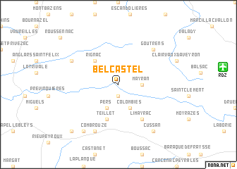
Belcastel (Midi-Pyrénées, France)Belcastel is a town in the Midi-Pyrénées region of France. An overview map of the region around Belcastel is displayed below.
regional and 3d topo map of Belcastel, France ::
Belcastel airports ::
The nearest airport is RDZ - Rodez Marcillac, located 12.2 km east of Belcastel.
Other airports nearby include LBI - Albi Le Sequestre (55.1 km south), AUR - Aurillac (56.9 km north), DCM - Castres Mazamet (92.0 km south), MEN - Mende Brenoux (96.4 km east), Nearby towns ::
Montillas (1.9km south) //
Mayran (2.6km east) //
Pers (3.9km south) //
Colombiès (3.9km south) //
Rignac (4.6km north west) //
Teillet (5.7km south) //
Limayrac (6.2km south east) //
Goutrens (6.8km north east) //
Combrouze (7.9km south) //
La Remise (6.5km north west) //
Cussan (8.4km south east) //
Les Martres (8.4km south west) //
Asquiès (9.1km south west) //
[all distances 'as the bird flies' and approximate] 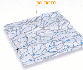 Places with similar names to Belcastel, France ::
// Blacks Still (US)
// Belle Castle (JM)
// Blue Castle (JM)
// Ballycastle (GB)
// Ballycastle (IE)
// Belcastel (FR)
// Biely Kostol (SK)
// Ballygastell (IE)
Disclaimer :: Information on this page comes without warranty of any kind |
||
|
Where is Belcastel? Elevation and coordinates ::
Latitude (lat): 44°23'0"N Longitude (lon): 2°20'0"E
Elevation (approx.): 493m (map arrows pan, magnifying glasses zoom) |
||
|
Visiting Belcastel? Hotel/Accommodation ::
Book a hotel in Belcastel Travel Guide ::
Buy a travel guide for France rental cars ::
car rental offers GPS waypoint ::
download a GPX waypoint (PoI) of Belcastel for your GPS receiver
|
||