|
search place name
|
||
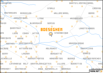
Boeseghem (Nord-Pas-de-Calais, France)Boeseghem is a town in the Nord-Pas-de-Calais region of France. An overview map of the region around Boeseghem is displayed below.
regional and 3d topo map of Boeseghem, France ::
Boeseghem airports ::
The nearest airport is LIL - Lille Lesquin, located 46.7 km east of Boeseghem.
Other airports nearby include CQF - Calais Dunkerque (47.9 km north west), QKT - Kortrijk-vevelgem Wevelgem (55.8 km east), LTQ - Le Tourquet Le Touquet Paris Plage (61.0 km west), OST - Oostende (65.9 km north east), Nearby towns ::
Thiennes (2.2km south east) //
Steenbecque (2.3km east) //
Sercus (3.7km north) //
Isbergues (5.6km south) //
Molinghem (5.6km south) //
Wittes (3.5km west) //
Guarbecque (6.0km south east) //
Lynde (6.0km north west) //
Blaringhem (5.1km north west) //
Aire-sur-la-Lys (5.1km south west) //
Berguette (7.5km south) //
Moulin-le-Comte (5.1km west) //
Lambres (6.6km south west) //
Wallon-Cappel (7.8km north) //
Morbecque (6.0km north east) //
Ebblinghem (8.2km north west) //
Mazinghem (8.2km south west) //
Rombly (8.8km south west) //
[all distances 'as the bird flies' and approximate] 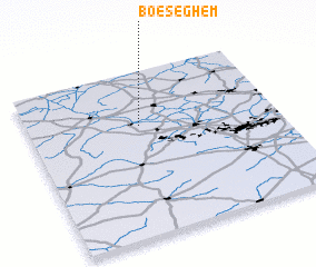 Places with similar names to Boeseghem, France ::
Disclaimer :: Information on this page comes without warranty of any kind |
||
|
Where is Boeseghem? Elevation and coordinates ::
Latitude (lat): 50°40'0"N Longitude (lon): 2°27'0"E
Elevation (approx.): 32m (map arrows pan, magnifying glasses zoom) |
||
|
Visiting Boeseghem? Hotel/Accommodation ::
Book a hotel in Boeseghem Travel Guide ::
Buy a travel guide for France rental cars ::
car rental offers GPS waypoint ::
download a GPX waypoint (PoI) of Boeseghem for your GPS receiver
|
||