|
search place name
|
||
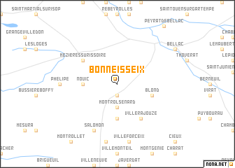
Bonneisseix (Limousin, France)Bonneisseix is a town in the Limousin region of France. An overview map of the region around Bonneisseix is displayed below.
regional and 3d topo map of Bonneisseix, France ::
Bonneisseix airports ::
The nearest airport is LIG - Limoges Bellegarde, located 28.0 km south east of Bonneisseix.
Other airports nearby include ANG - Angouleme Brie Champniers (68.9 km south west), PIS - Poitiers Biard (77.1 km north west), PGX - Perigueux Bassillac (97.3 km south), CHR - Chateauroux Deols (106.1 km north east), Nearby towns ::
Mortemart (1.9km south) //
Montrol-Sénard (3.7km south) //
Montmézéry (5.6km south) //
Nouic (3.9km west) //
Blond (4.3km south east) //
Villerajouze (6.1km south east) //
Mézières-sur-Issoire (5.3km north west) //
Salomon (7.8km south) //
[all distances 'as the bird flies' and approximate] 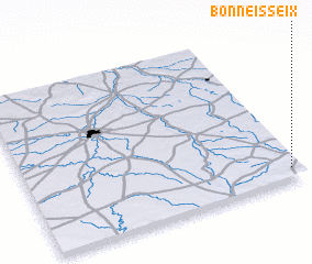 Places with similar names to Bonneisseix, France ::
// Ban Sako Sai (TH)
// Benasques (ES)
// Banza-Kasi (CD)
// Ban Saxai (LA)
// Ban Sixao (LA)
// Banza Cusso (AO)
// Banza Quizau (AO)
Disclaimer :: Information on this page comes without warranty of any kind |
||
|
Where is Bonneisseix? Elevation and coordinates ::
Latitude (lat): 46°4'0"N Longitude (lon): 0°58'0"W
Elevation (approx.): 278m (map arrows pan, magnifying glasses zoom) |
||
|
Visiting Bonneisseix? Hotel/Accommodation ::
Book a hotel in Bonneisseix Travel Guide ::
Buy a travel guide for France rental cars ::
car rental offers GPS waypoint ::
download a GPX waypoint (PoI) of Bonneisseix for your GPS receiver
|
||