|
search place name
|
||
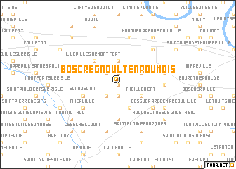
Bosc-Regnoult-en-Roumois (Haute-Normandie, France)Bosc-Regnoult-en-Roumois is a town in the Haute-Normandie region of France. An overview map of the region around Bosc-Regnoult-en-Roumois is displayed below.
regional and 3d topo map of Bosc-Regnoult-en-Roumois, France ::
Bosc-Regnoult-en-Roumois airports ::
The nearest airport is URO - Rouen Vallee De Seine, located 31.1 km east of Bosc-Regnoult-en-Roumois.
Other airports nearby include DOL - Deauville St Gatien (45.1 km west), LEH - Le Havre Octeville (55.7 km north west), CFR - Caen Carpiquet (89.7 km west), POX - Pontoise Cormeilles En Vexin (95.6 km east), Nearby towns ::
Touville-sur-Monfort (0.0km north) //
Voiscreville (1.9km south) //
Épreville-en-Roumois (1.9km north) //
Saint-Léger-du-Gennetey (2.2km south west) //
Catelon (2.2km north west) //
Flancourt-Catelon (3.7km north) //
Boissey-le-Châtel (3.9km south) //
Theillement (3.0km south east) //
Bosc-Bénard-Crescy (3.0km north east) //
Illeville-sur-Montfort (4.4km north west) //
Bonneville-Aptot (5.6km south) //
Écaquelon (4.1km south west) //
Saint-Denis-des-Monts (5.2km south east) //
Thierville (5.2km south west) //
Berville-en-Roumois (4.8km east) //
Bosc-Bénard-Commin (5.2km east) //
Thuit-Hébert (5.2km east) //
Bouquetot (7.5km north) //
Bosrobert (7.5km south) //
Malleville-sur-le-Bec (7.5km south) //
Bourg-Achard (6.6km north east) //
Bosguérard-de-Marcouville (6.1km south east) //
Saint-Éloi-de-Fourques (7.8km south) //
Houlbec-près-le-Gros-Theil (7.4km south east) //
Pont-Authou (7.4km south west) //
Le Bec-Hellouin (8.3km south west) //
Honguemare-Guenouville (8.3km north east) //
Authou (8.9km south west) //
Éturqueraye (8.8km north west) //
[all distances 'as the bird flies' and approximate] 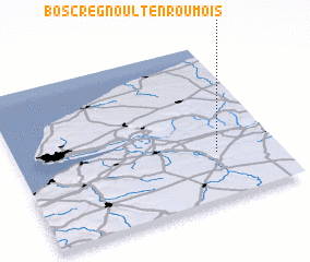 Places with similar names to Bosc-Regnoult-en-Roumois, France :: Disclaimer :: Information on this page comes without warranty of any kind |
||
|
Where is Bosc-Regnoult-en-Roumois? Elevation and coordinates ::
Latitude (lat): 49°18'0"N Longitude (lon): 0°46'0"W
Elevation (approx.): 137m (map arrows pan, magnifying glasses zoom) |
||
|
Visiting Bosc-Regnoult-en-Roumois? Hotel/Accommodation ::
Book a hotel in Bosc-Regnoult-en-Roumois Travel Guide ::
Buy a travel guide for France rental cars ::
car rental offers GPS waypoint ::
download a GPX waypoint (PoI) of Bosc-Regnoult-en-Roumois for your GPS receiver
|
||